Tocht Stappen Toul - TOUL - LA CROIX D'ARGENT - Photo

TOUL - LA CROIX D'ARGENT

© OpenStreetMap contributors
Lengte
Lengte
13 km
Max. hoogte
Max. hoogte
236 m
Positief hoogteverschil
113 m
Km-Effort
Km-Effort  
14,5 km
Min. hoogte
Min. hoogte
209 m
Negatief hoogteverschil
113 m
Boucle
Boucle
Ja
Datum van aanmaak :
2020-08-04 11:58:24.045
Laatste wijziging :
2020-08-04 16:37:37.827

(0 Bericht)

Stappen
Stappen
3h22
Moeilijkheid : Heel gemakkelijk

Scan deze QR-code om de tocht te openen in de SityTrail-applicatie

Gratisgps-wandelapplicatie

Logo SityTrail SityTrail

IGN / Geografische instituten

SityTrail uit de App Store downloaden SityTrail uit Google Play downloaden

Logo SityTrail SityTrail World

De wereld gaat voor u open

SityTrail uit de App Store downloaden SityTrail uit Google Play downloaden SityTrail op Huawei AppGallery downloaden

Over ons

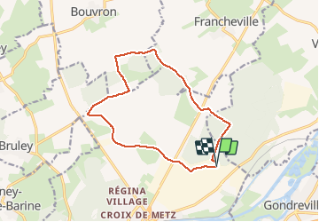
Tocht Stappen van 13 km beschikbaar op Grand Est, Meurthe-et-Moselle, Toul. Deze tocht wordt voorgesteld door jean-marie.parachini.

Beschrijving

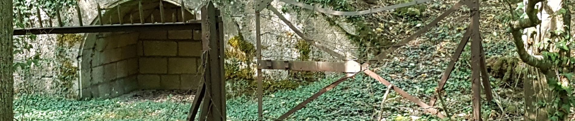
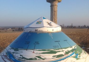
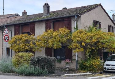
boucle de la zone industrielle aux anciennes fortifications en forêt.

Hoogteprofiel

Foto's

Plaatsbepaling

Land:
France
Regio :
Grand Est
Departement/Provincie :
Meurthe-et-Moselle
Gemeente :
Toul
Locatie:
Unknown
Vertrek:(UTM)
715484 ; 5398539 (31U) N.

Wandeltochten in de omgeving

Tocht Mountainbike Toul - Côtes de Toul 50k 2012 - Photo
Mountainbike
virginieHurpeau

Mountainbike

Moeilijk
(2)
Toul, Grand Est, Meurthe-et-Moselle, France
59 km | 75 km-effort
5h 15min
Ja
Tocht Paard Villey-le-Sec - La Poudrière - Villey le Sec - Photo
Paard
tracegps

Paard

Medium
(1)
Villey-le-Sec, Grand Est, Meurthe-et-Moselle, France
8,6 km | 10,7 km-effort
1h 30min
Ja
Tocht Te voet Dommartin-lès-Toul - Circuit du Luxembourg - Photo
Te voet
PRO

Te voet

Gemakkelijk
Dommartin-lès-Toul, Grand Est, Meurthe-et-Moselle, France
12,5 km | 15,3 km-effort
3h 28min
Neen
Tocht Te voet Écrouves - Sentier Toul-Thiaucourt - Photo
Te voet
PRO

Te voet

Medium
Écrouves, Grand Est, Meurthe-et-Moselle, France
22 km | 24 km-effort
5h 28min
Neen
Tocht Te voet Écrouves - Chemin des Chanottes - Photo
Te voet
PRO

Te voet

Gemakkelijk
Écrouves, Grand Est, Meurthe-et-Moselle, France
5,6 km | 6,4 km-effort
1h 27min
Neen
Tocht Stappen Villey-Saint-Étienne - Villette st etienne - Photo
Stappen
papounet56

Stappen

Heel gemakkelijk
Villey-Saint-Étienne, Grand Est, Meurthe-et-Moselle, France
8,8 km | 10,4 km-effort
3h 20min
Ja
Tocht Stappen Villey-Saint-Étienne - Villey st Etienne - Photo
Stappen
australys

Stappen

Gemakkelijk
Villey-Saint-Étienne, Grand Est, Meurthe-et-Moselle, France
8,9 km | 10,4 km-effort
2h 20min
Ja
Tocht Stappen Toul - Toul intra-muros  - Photo
Stappen
noelphil

Stappen

Medium
Toul, Grand Est, Meurthe-et-Moselle, France
6,6 km | 7,2 km-effort
2h 22min
Ja
Tocht Stappen Fontenoy-sur-Moselle - Fontenoy Bois Essarte - Photo
Stappen
jean-marie.parachini

Stappen

Gemakkelijk
Fontenoy-sur-Moselle, Grand Est, Meurthe-et-Moselle, France
8 km | 8,9 km-effort
2h 26min
Neen


Sluiten
Mijn abonnementen