


Charentilly - Circuit 2 avec variante - 14.8km 135m 3h05 - 2020 08 15

Orcal37
Gebruiker GUIDE
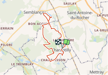

Lengte
14,8 km

Max. hoogte
125 m

Positief hoogteverschil
135 m
Km-Effort
16,6 km

Min. hoogte
83 m

Negatief hoogteverschil
135 m
Boucle
Ja
Datum van aanmaak :
2020-08-15 12:02:36.338
Laatste wijziging :
2020-08-23 09:54:45.316
3h05
Moeilijkheid : Gemakkelijk

Gratisgps-wandelapplicatie
 SityTrail
IGN / Geografische instituten
SityTrail Plus
De wereld gaat voor u open
Over ons
Tocht Stappen van 14,8 km beschikbaar op Centre-Val de Loire, Indre-et-Loire, Charentilly. Deze tocht wordt voorgesteld door Orcal37.
Beschrijving
Charentilly - Circuit 2 avec ajout variante de 2.7km - 14.8km 135m 3h05 - 2020 08 15
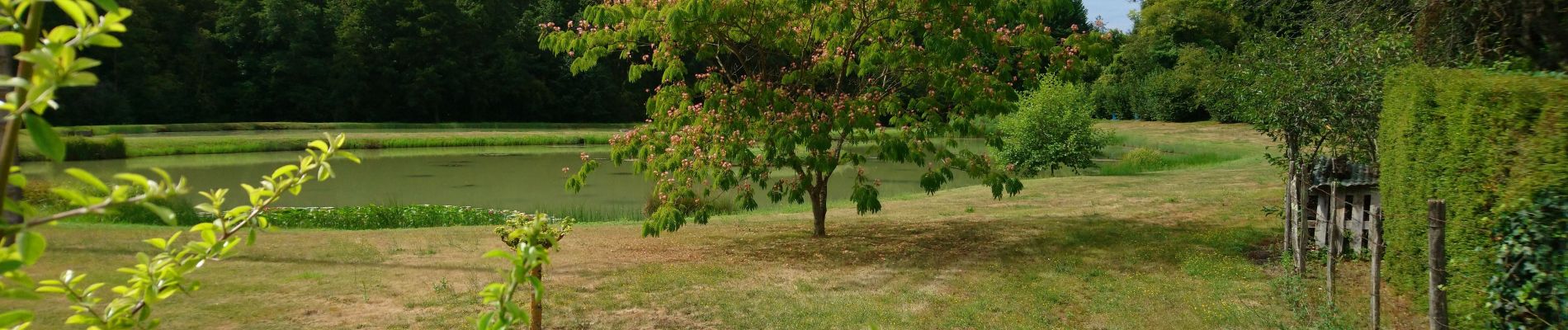
Foto's


Plaatsbepaling
Land:
France
Regio :
Centre-Val de Loire
Departement/Provincie :
Indre-et-Loire
Gemeente :
Charentilly
Locatie:
Unknown
Vertrek:(Dec)
Vertrek:(UTM)
319943 ; 5260221 (31T) N.
Opmerkingen