


La cascade du Hohwald par le champ du Feu

VacheKiri67
Gebruiker
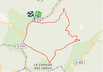

Lengte
9,7 km

Max. hoogte
1081 m

Positief hoogteverschil
363 m
Km-Effort
14,5 km

Min. hoogte
717 m

Negatief hoogteverschil
363 m
Boucle
Ja
Datum van aanmaak :
2014-12-10 00:00:00.0
Laatste wijziging :
2014-12-10 00:00:00.0
3h32
Moeilijkheid : Medium

Gratisgps-wandelapplicatie
 SityTrail
IGN / Geografische instituten
SityTrail Plus
De wereld gaat voor u open
Over ons
Tocht Stappen van 9,7 km beschikbaar op Grand Est, Bas-Rhin, Le Hohwald. Deze tocht wordt voorgesteld door VacheKiri67.
Beschrijving
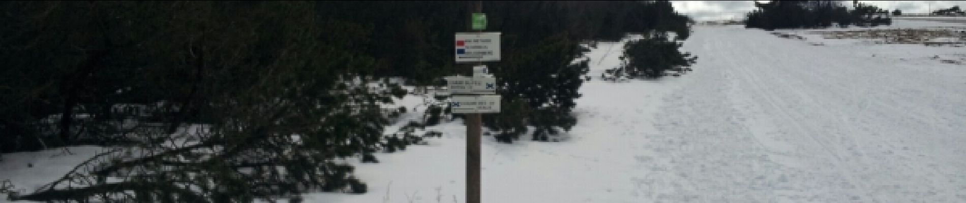
Faite le 23/02/2014 en 3h30 (dont 0h30 de pauses) avec notre fils de 9 ans. Neige au dessus de 1000m.
Foto's


Plaatsbepaling
Land:
France
Regio :
Grand Est
Departement/Provincie :
Bas-Rhin
Gemeente :
Le Hohwald
Locatie:
Unknown
Vertrek:(Dec)
Vertrek:(UTM)
372325 ; 5363114 (32U) N.
Opmerkingen