


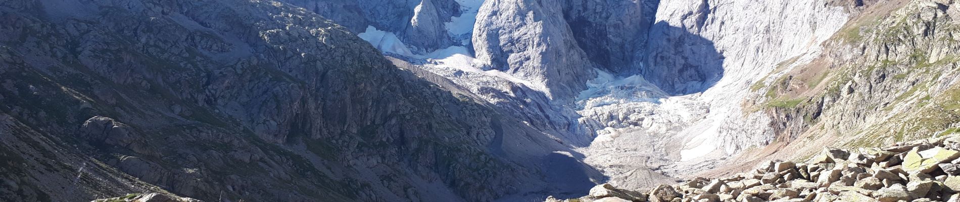
petit Vignemale Du Pont d'Espagne - Cauterets

GrouGary
Gebruiker


9h33
Moeilijkheid : Zeer moeilijk

Gratisgps-wandelapplicatie
 SityTrail
IGN / Geografische instituten
SityTrail Plus
De wereld gaat voor u open
Over ons
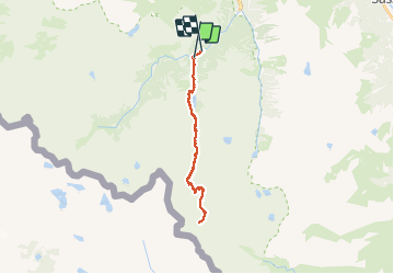
Tocht Stappen van 26 km beschikbaar op Occitanië, Hautes-Pyrénées, Cauterets. Deze tocht wordt voorgesteld door GrouGary.
Beschrijving
Gros dénivelé et randonnée AR de 26 km. Montées soutenues mais sans difficultés techniques. Une bonne condition physique est nécessaire.
Traversée de pâtures de moutons et vaches, sans problème, près du magnifique Lac de Gaube.
Foto's


Plaatsbepaling
Opmerkingen