


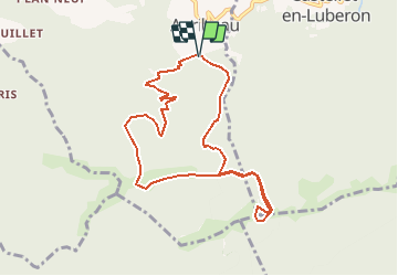

10,8 km | 13,8 km-effort


Gebruiker


Gratisgps-wandelapplicatie
 SityTrail
IGN / Geografische instituten
SityTrail World
De wereld gaat voor u open
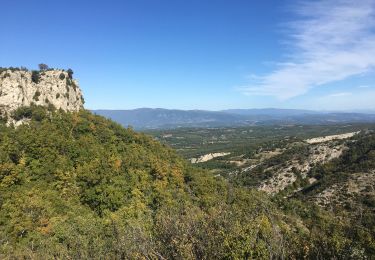
Tocht Stappen van 9,3 km beschikbaar op Provence-Alpes-Côte d'Azur, Vaucluse, Auribeau. Deze tocht wordt voorgesteld door JMCMoreau.
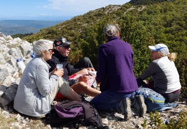
Prévoir une bonne 1/2 journée pour cette Rando. Le dénivelé est très progressif et donc de difficulté moindre.
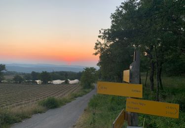
Penser à prendre de l'eau en quantité

Stappen

Stappen
Stappen
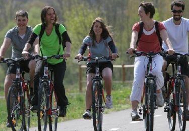
Fiets

Stappen
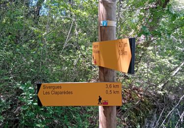
Stappen
Stappen
Stappen
Stappen