


Chemin de: Le Villard

Lecoester
Gebruiker
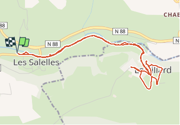

Lengte
6,5 km

Max. hoogte
694 m

Positief hoogteverschil
105 m
Km-Effort
7,9 km

Min. hoogte
611 m

Negatief hoogteverschil
105 m
Boucle
Ja
Datum van aanmaak :
2020-09-15 13:46:45.522
Laatste wijziging :
2020-09-15 15:46:38.834
1h48
Moeilijkheid : Heel gemakkelijk

Gratisgps-wandelapplicatie
 SityTrail
IGN / Geografische instituten
SityTrail Plus
De wereld gaat voor u open
Over ons
Tocht Stappen van 6,5 km beschikbaar op Occitanië, Lozère, Les Salelles. Deze tocht wordt voorgesteld door Lecoester.
Beschrijving
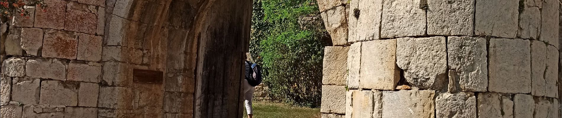
départ de l'ai de pique-nique de Les Salleles. chemin tranquille le long du Lot et belle montée vers Le Villard. les remparts sont à voir.
Foto's


Plaatsbepaling
Land:
France
Regio :
Occitanië
Departement/Provincie :
Lozère
Gemeente :
Les Salelles
Locatie:
Unknown
Vertrek:(Dec)
Vertrek:(UTM)
521958 ; 4925517 (31T) N.
Opmerkingen