


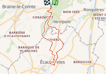


8,2 km | 10,5 km-effort


Gebruiker


Gratisgps-wandelapplicatie
 SityTrail
IGN / Geografische instituten
SityTrail World
De wereld gaat voor u open
Tocht Te voet van 14 km beschikbaar op Wallonië, Henegouwen, 's-Gravenbrakel. Deze tocht wordt voorgesteld door emiliano.
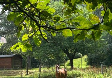
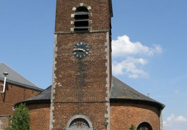
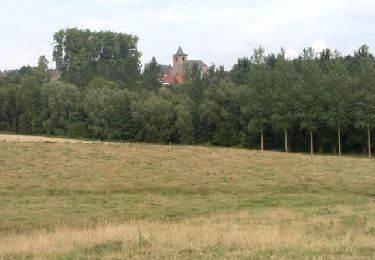
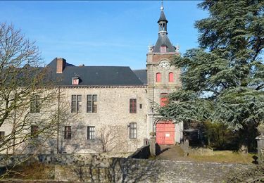
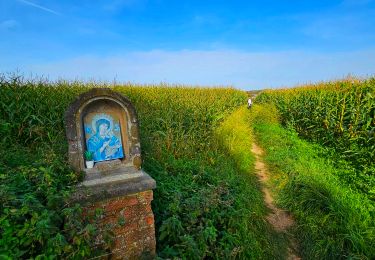
Randonnée ne présentant pas de difficulté. Vous irez à la découverte des deux Châteaux d'Écaussinnes en parcourant forêt, routes de campagne et sentiers avec la Tour de Ronquières en vigie.

Stappen
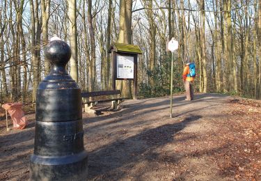
Stappen
Stappen
Stappen
Stappen
Stappen
Stappen

Mountainbike
Stappen