


GR_37_FC_14_Le-Faou_Argol_20200919

patrickdanilo
Gebruiker

Lengte
15,9 km

Max. hoogte
114 m

Positief hoogteverschil
432 m
Km-Effort
21 km

Min. hoogte
0 m

Negatief hoogteverschil
366 m
Boucle
Neen
Datum van aanmaak :
2020-09-19 07:56:08.575
Laatste wijziging :
2023-01-12 10:38:03.822
4h31
Moeilijkheid : Medium

Gratisgps-wandelapplicatie
 SityTrail
IGN / Geografische instituten
SityTrail Plus
De wereld gaat voor u open
Over ons
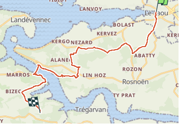
Tocht Stappen van 15,9 km beschikbaar op Bretagne, Finistère, Le Faou. Deze tocht wordt voorgesteld door patrickdanilo.
Beschrijving
Randonnée Marche de 15,9 km à découvrir à Bretagne, Finistère, Le Faou. Cette randonnée est proposée par patrickdanilo.
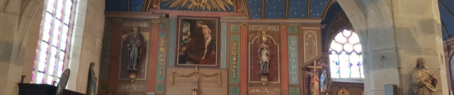
Foto's


Plaatsbepaling
Land:
France
Regio :
Bretagne
Departement/Provincie :
Finistère
Gemeente :
Le Faou
Locatie:
Unknown
Vertrek:(Dec)
Vertrek:(UTM)
412403 ; 5349931 (30U) N.
Opmerkingen