


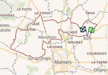

11,1 km | 13,8 km-effort


Gebruiker


Gratisgps-wandelapplicatie
 SityTrail
IGN / Geografische instituten
SityTrail World
De wereld gaat voor u open
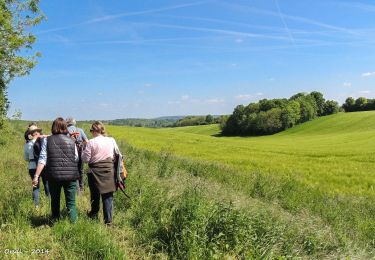
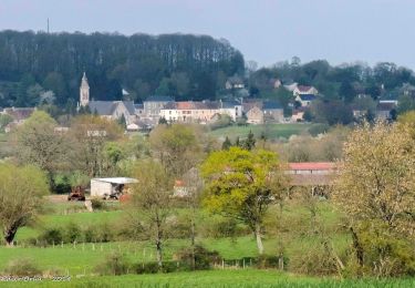
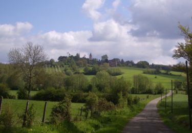
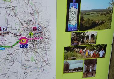
Tocht Stappen van 24 km beschikbaar op Normandië, Orne, Suré. Deze tocht wordt voorgesteld door titi61.
ballade du dimancvhe
Stappen
Stappen
Stappen
Stappen
Stappen
Stappen
Stappen
![Tocht Stappen Belforêt-en-Perche - [Itinéraire] Le Chêne de l'école - Photo](https://media.geolcdn.com/t/375/260/ext.jpg?maxdim=2&url=https%3A%2F%2Fstatic1.geolcdn.com%2Fsiteimages%2Fupload%2Ffiles%2F1553511878bg_sport_marche.png)
Stappen
Stappen