


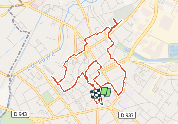


12,3 km | 13,4 km-effort

Gebruiker


Gratisgps-wandelapplicatie
 SityTrail
IGN / Geografische instituten
SityTrail World
De wereld gaat voor u open
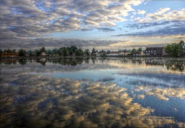
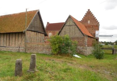
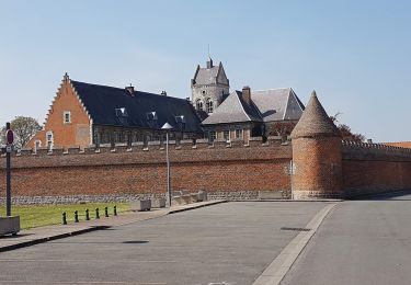
Tocht Stappen van 5,6 km beschikbaar op Hauts-de-France, Pas-de-Calais, Béthune. Deze tocht wordt voorgesteld door Marie-Claire-mcp.
xx


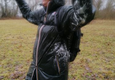
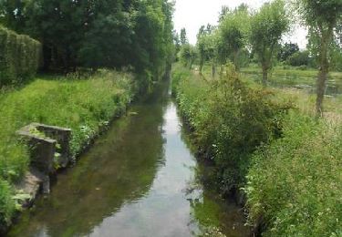
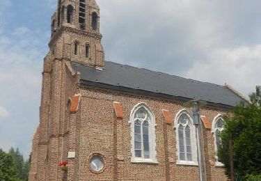
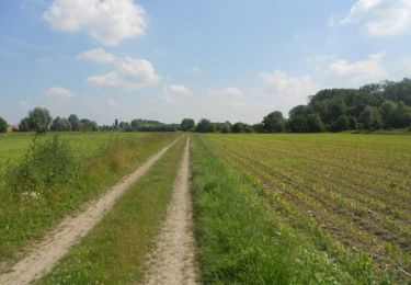
27 fotos in totaal. Klik op een foto om ze allemaal in de galerij weer te geven.
Stappen
Stappen
Stappen
Stappen
Stappen
Stappen
Stappen
Fiets
Stappen