


Boucle: Ripelle - Source Ripelle - Tourris - Grottes de sables - Carrière aux fourmis - Ruines des olivières - Touravelle - Ripelle

affinetataille
Gebruiker GUIDE
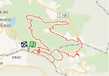

Lengte
15,1 km

Max. hoogte
417 m

Positief hoogteverschil
456 m
Km-Effort
21 km

Min. hoogte
95 m

Negatief hoogteverschil
457 m
Boucle
Ja
Datum van aanmaak :
2020-10-08 06:49:06.99
Laatste wijziging :
2020-10-08 18:34:34.862
6h25
Moeilijkheid : Medium

Gratisgps-wandelapplicatie
 SityTrail
IGN / Geografische instituten
SityTrail Plus
De wereld gaat voor u open
Over ons
Tocht Stappen van 15,1 km beschikbaar op Provence-Alpes-Côte d'Azur, Var, Le Revest-les-Eaux. Deze tocht wordt voorgesteld door affinetataille.
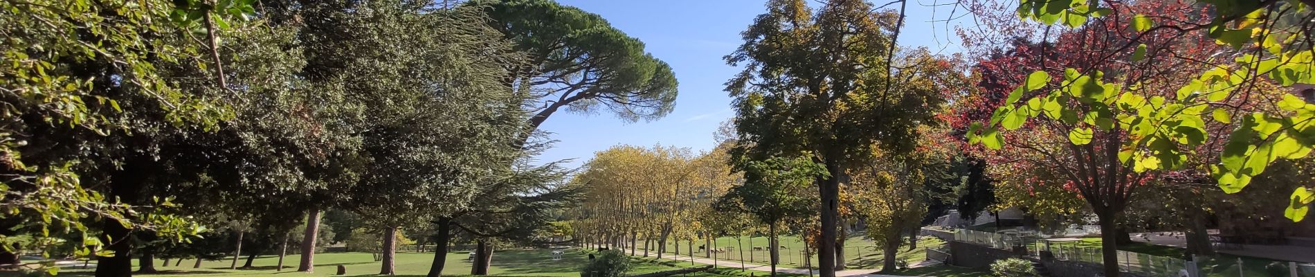
Foto's


Plaatsbepaling
Land:
France
Regio :
Provence-Alpes-Côte d'Azur
Departement/Provincie :
Var
Gemeente :
Le Revest-les-Eaux
Locatie:
Unknown
Vertrek:(Dec)
Vertrek:(UTM)
739049 ; 4783327 (31T) N.
Opmerkingen