


st Martin alberes - pic Neouliys - col ouillat

Erius
Gebruiker
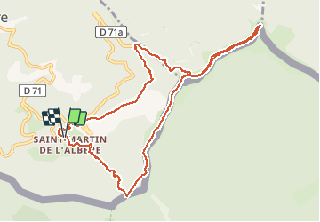

Lengte
11,9 km

Max. hoogte
1248 m

Positief hoogteverschil
640 m
Km-Effort
20 km

Min. hoogte
626 m

Negatief hoogteverschil
643 m
Boucle
Ja
Datum van aanmaak :
2020-12-17 08:35:58.038
Laatste wijziging :
2020-12-17 14:29:33.79
3h30
Moeilijkheid : Medium

Gratisgps-wandelapplicatie
 SityTrail
IGN / Geografische instituten
SityTrail Plus
De wereld gaat voor u open
Over ons
Tocht Stappen van 11,9 km beschikbaar op Occitanië, Pyrénées-Orientales, L'Albère. Deze tocht wordt voorgesteld door Erius.
Beschrijving
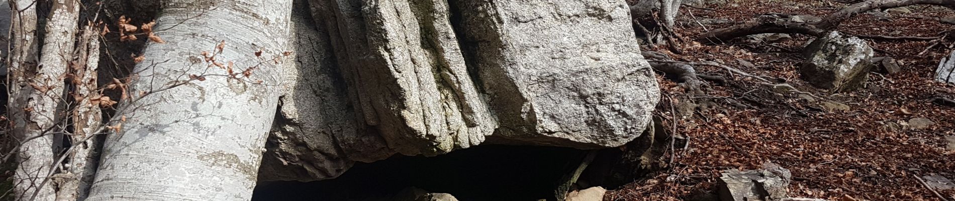
Jolie rando dans la forêt 650 12km
Foto's


Plaatsbepaling
Land:
France
Regio :
Occitanië
Departement/Provincie :
Pyrénées-Orientales
Gemeente :
L'Albère
Locatie:
Unknown
Vertrek:(Dec)
Vertrek:(UTM)
492548 ; 4701542 (31T) N.
Opmerkingen