


rptlch

apa
Gebruiker
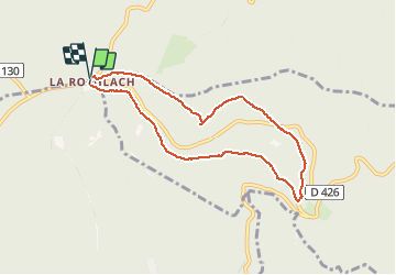

Lengte
7,1 km

Max. hoogte
981 m

Positief hoogteverschil
200 m
Km-Effort
9,8 km

Min. hoogte
792 m

Negatief hoogteverschil
195 m
Boucle
Ja
Datum van aanmaak :
2021-01-19 08:53:05.612
Laatste wijziging :
2021-01-19 14:07:41.591
2h30
Moeilijkheid : Heel gemakkelijk

Gratisgps-wandelapplicatie
 SityTrail
IGN / Geografische instituten
SityTrail Plus
De wereld gaat voor u open
Over ons
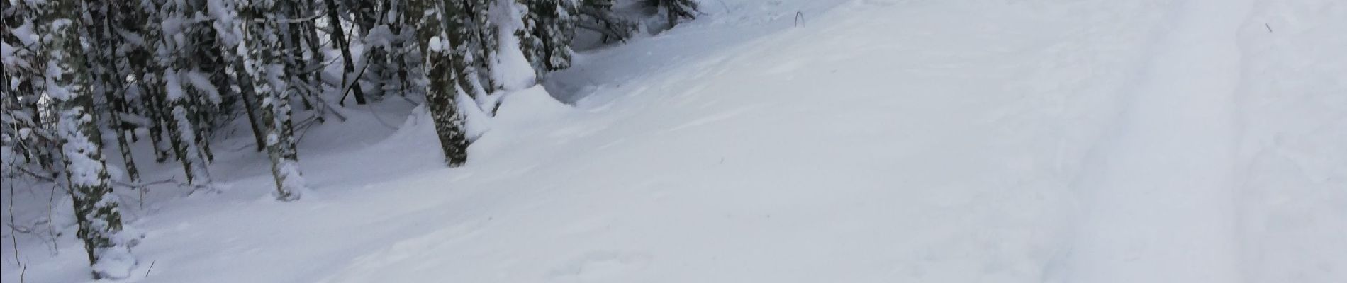
Tocht Sneeuwschoenen van 7,1 km beschikbaar op Grand Est, Bas-Rhin, Le Hohwald. Deze tocht wordt voorgesteld door apa.
Foto's


Plaatsbepaling
Land:
France
Regio :
Grand Est
Departement/Provincie :
Bas-Rhin
Gemeente :
Le Hohwald
Locatie:
Unknown
Vertrek:(Dec)
Vertrek:(UTM)
375360 ; 5365228 (32U) N.
Opmerkingen