


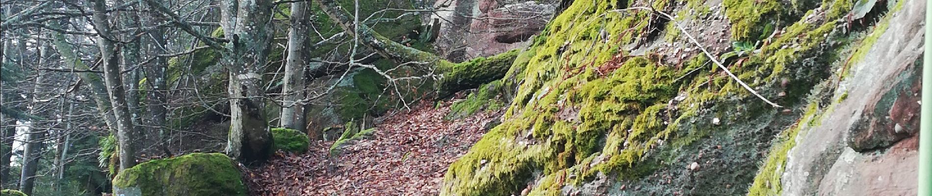
vue sur ottrott

apa
Gebruiker
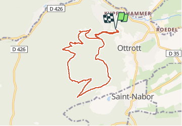

Lengte
8,7 km

Max. hoogte
717 m

Positief hoogteverschil
400 m
Km-Effort
14 km

Min. hoogte
329 m

Negatief hoogteverschil
399 m
Boucle
Ja
Datum van aanmaak :
2021-02-04 09:07:19.077
Laatste wijziging :
2021-02-04 12:25:36.271
2h34
Moeilijkheid : Medium

Gratisgps-wandelapplicatie
 SityTrail
IGN / Geografische instituten
SityTrail Plus
De wereld gaat voor u open
Over ons
Tocht Stappen van 8,7 km beschikbaar op Grand Est, Bas-Rhin, Ottrott. Deze tocht wordt voorgesteld door apa.
Beschrijving
Belle rando
Foto's


Plaatsbepaling
Land:
France
Regio :
Grand Est
Departement/Provincie :
Bas-Rhin
Gemeente :
Ottrott
Locatie:
Unknown
Vertrek:(Dec)
Vertrek:(UTM)
383093 ; 5368775 (32U) N.
Opmerkingen