


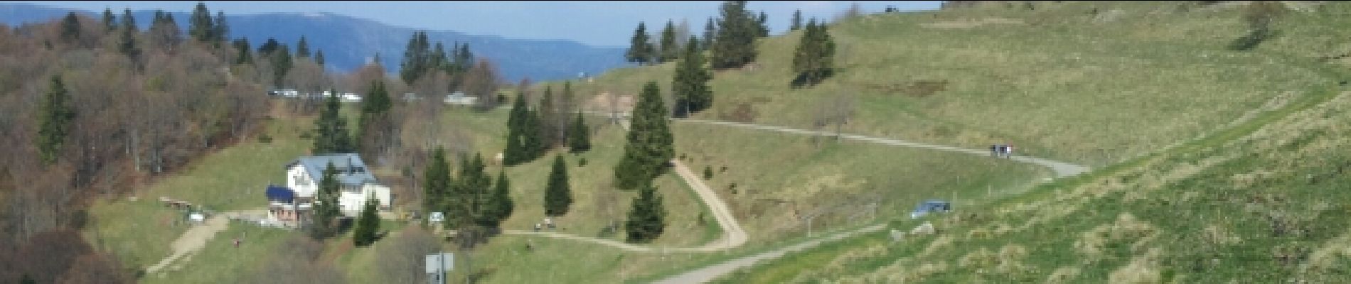
Markstein

VacheKiri67
Gebruiker
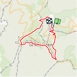


4h45
Moeilijkheid : Medium

Gratisgps-wandelapplicatie
 SityTrail
IGN / Geografische instituten
SityTrail Plus
De wereld gaat voor u open
Over ons
Tocht Stappen van 14 km beschikbaar op Grand Est, Haut-Rhin, Linthal. Deze tocht wordt voorgesteld door VacheKiri67.
Beschrijving
Faite le 13/04/2014 avec notre fils de 9 ans. D'après l'excellent ouvrage : Mes balades préférées dans les Vosges N°25 - Un tour du Markstein élargi.
Foto's


21 fotos in totaal. Klik op een foto om ze allemaal in de galerij weer te geven.
Plaatsbepaling
Opmerkingen
Une super randonnée !