


malchamps

fredspa
Gebruiker

Lengte
18,6 km

Max. hoogte
568 m

Positief hoogteverschil
291 m
Km-Effort
23 km

Min. hoogte
247 m

Negatief hoogteverschil
569 m
Boucle
Neen
Datum van aanmaak :
2021-02-11 13:35:08.764
Laatste wijziging :
2021-02-11 16:32:47.394
1h40
Moeilijkheid : Heel gemakkelijk

Gratisgps-wandelapplicatie
 SityTrail
IGN / Geografische instituten
SityTrail Plus
De wereld gaat voor u open
Over ons
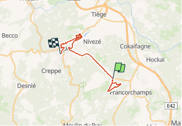
Tocht Stappen van 18,6 km beschikbaar op Wallonië, Luik, Spa. Deze tocht wordt voorgesteld door fredspa.
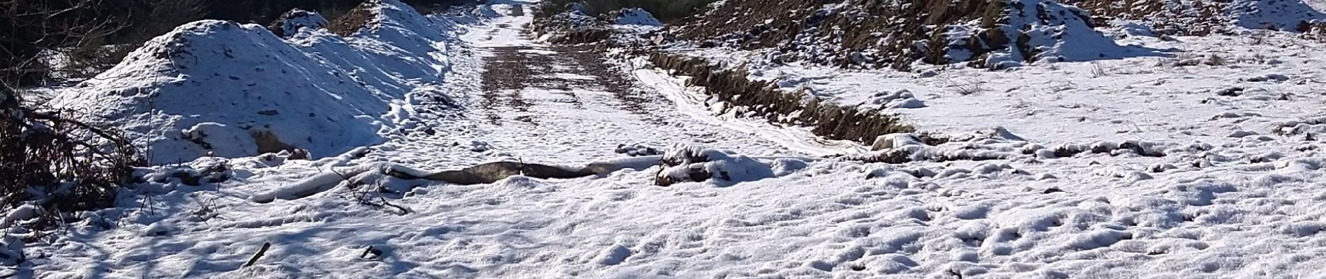
Foto's

Plaatsbepaling
Land:
Belgium
Regio :
Wallonië
Departement/Provincie :
Luik
Gemeente :
Spa
Locatie:
Spa
Vertrek:(Dec)
Vertrek:(UTM)
707813 ; 5594435 (31U) N.
Opmerkingen