Tocht Stappen Vaire - vaire le grand  - Photo
 eltonnermou
eltonnermou

Gebruiker

© OpenStreetMap contributors
Lengte
Lengte
15,6 km
Max. hoogte
Max. hoogte
570 m
Positief hoogteverschil
411 m
Km-Effort
Km-Effort  
21 km
Min. hoogte
Min. hoogte
246 m
Negatief hoogteverschil
411 m
Boucle
Boucle
Ja
Datum van aanmaak :
2021-02-12 09:13:14.912
Laatste wijziging :
2021-05-04 18:42:25.413

(0 Bericht)

Stappen
Stappen
2h40
Moeilijkheid : Medium

Scan deze QR-code om de tocht te openen in de SityTrail-applicatie

Gratisgps-wandelapplicatie

Logo SityTrail SityTrail

IGN / Geografische instituten

SityTrail uit de App Store downloaden SityTrail uit Google Play downloaden

Logo SityTrail SityTrail World

De wereld gaat voor u open

SityTrail uit de App Store downloaden SityTrail uit Google Play downloaden SityTrail op Huawei AppGallery downloaden

Over ons

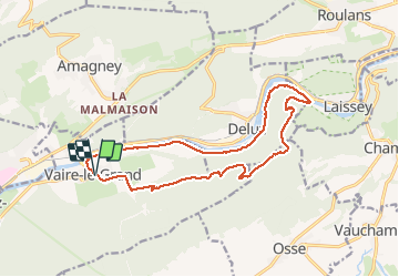
Tocht Stappen van 15,6 km beschikbaar op Bourgondië-Franche-Comté, Doubs, Vaire. Deze tocht wordt voorgesteld door eltonnermou.

Beschrijving

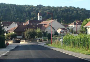
parking près de l'école
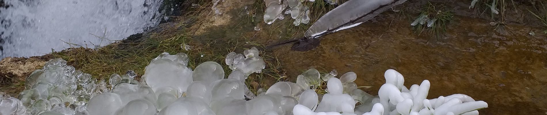
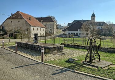
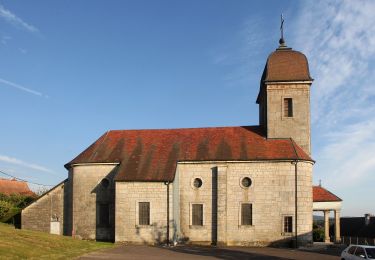
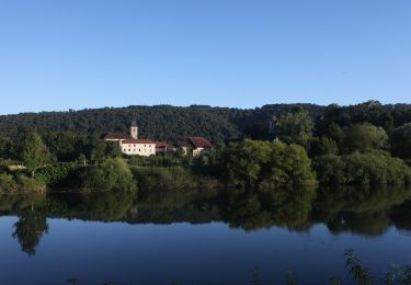
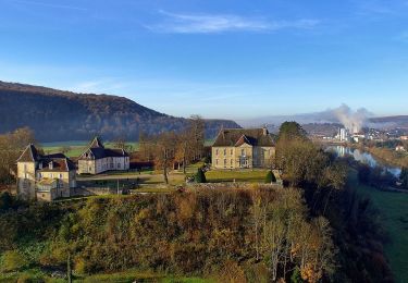
Très belle randonnée sur sol enneigé et bien gelé. Dans la montée prenez le temps de regarder la charmante fontaine champêtre des tilleuls. 2 cabanons pourront vous servir de lieux de pause/casse-croute. Plus loin dans la descente, ne passer pas à côté du point de vue de la roche blanche et sa croix ; faites le détour = 300m ; attention le site est non sécurisé et dangereux (inutile de monter la petite échelle de fer = il n'y a rien à voir de plus) point de vue sur Deluz, le Doubs en direction de Besançon.
Le retour sur le chemin de hallage est agréable, ( hiver 2020) dommage que tous les arbres arrachés n'est pas encore été dégagés, cela complique fortement le cheminement.

Hoogteprofiel

Foto's

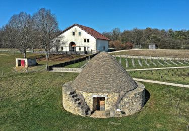
25 fotos in totaal. Klik op een foto om ze allemaal in de galerij weer te geven.

Plaatsbepaling

Land:
France
Regio :
Bourgondië-Franche-Comté
Departement/Provincie :
Doubs
Gemeente :
Vaire
Locatie:
Unknown
Vertrek:(UTM)
284780 ; 5240509 (32T) N.

Wandeltochten in de omgeving

Tocht Te voet Nancray - Circuit du Chêne Président - Photo
Te voet
GUIDE+

Te voet

Gemakkelijk
Nancray, Bourgondië-Franche-Comté, Doubs, France
6,4 km | 7,2 km-effort
1h 38min
Ja
Tocht Te voet Nancray - Sentier du Fonteny - Photo
Te voet
GUIDE+

Te voet

Gemakkelijk
Nancray, Bourgondië-Franche-Comté, Doubs, France
7,4 km | 9 km-effort
2h 2min
Ja
Tocht Te voet Nancray - Sentier du Moulin - Photo
Te voet
GUIDE+

Te voet

Gemakkelijk
Nancray, Bourgondië-Franche-Comté, Doubs, France
9,5 km | 12,5 km-effort
2h 50min
Ja
Tocht Te voet Nancray - Sentier du Tour des Landes - Photo
Te voet
GUIDE+

Te voet

Gemakkelijk
Nancray, Bourgondië-Franche-Comté, Doubs, France
8 km | 10,4 km-effort
2h 22min
Ja
Tocht Te voet Gennes - Sentier du Fort des Epesses - Photo
Te voet
GUIDE+

Te voet

Gemakkelijk
Gennes, Bourgondië-Franche-Comté, Doubs, France
10,4 km | 14,4 km-effort
3h 16min
Ja
Tocht Te voet Deluz - Sentier du Château Loriot - Photo
Te voet
GUIDE+

Te voet

Gemakkelijk
Deluz, Bourgondië-Franche-Comté, Doubs, France
4,2 km | 7,6 km-effort
1h 43min
Ja
Tocht Te voet Deluz - Sentier du Patrimoine - Photo
Te voet
GUIDE+

Te voet

Gemakkelijk
Deluz, Bourgondië-Franche-Comté, Doubs, France
3,2 km | 4,6 km-effort
1h 2min
Ja
Tocht Te voet Vaire - Sentier des Sources 2 - Photo
Te voet
GUIDE+

Te voet

Gemakkelijk
Vaire, Bourgondië-Franche-Comté, Doubs, France
4,9 km | 6,7 km-effort
1h 30min
Ja
Tocht Te voet Vaire - Sentier des Sources 1 - Photo
Te voet
GUIDE+

Te voet

Gemakkelijk
Vaire, Bourgondië-Franche-Comté, Doubs, France
7,6 km | 10,9 km-effort
2h 29min
Ja


Sluiten
Mijn abonnementen