


GR des Abbayes km

BrigitteBertrand
Gebruiker
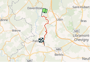

Lengte
19,9 km

Max. hoogte
438 m

Positief hoogteverschil
466 m
Km-Effort
26 km

Min. hoogte
264 m

Negatief hoogteverschil
323 m
Boucle
Neen
Datum van aanmaak :
2021-02-14 08:46:56.0
Laatste wijziging :
2021-02-14 16:36:52.949
4h30
Moeilijkheid : Onbekend

Gratisgps-wandelapplicatie
 SityTrail
IGN / Geografische instituten
SityTrail Plus
De wereld gaat voor u open
Over ons
Tocht Stappen van 19,9 km beschikbaar op Wallonië, Luxemburg, Libin. Deze tocht wordt voorgesteld door BrigitteBertrand.
Beschrijving
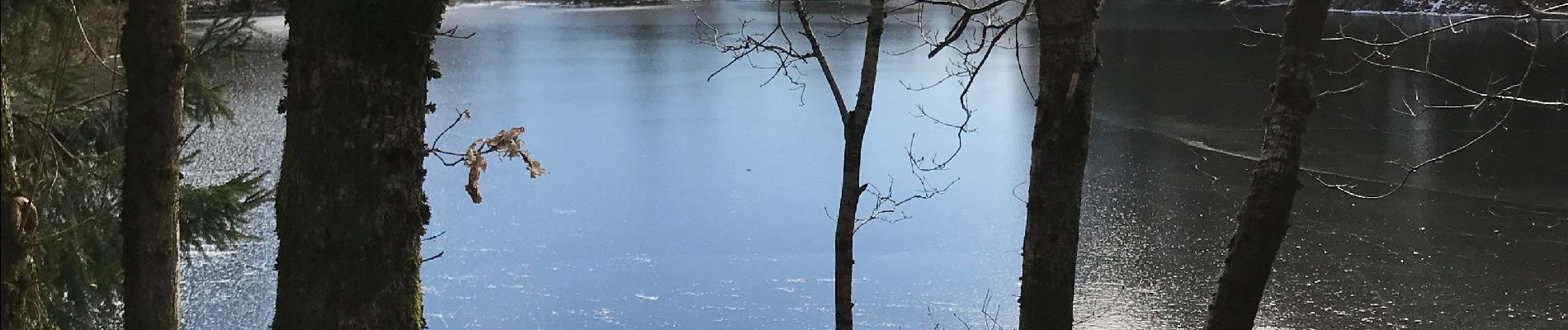
De Lesse à Offagne
Foto's


Plaatsbepaling
Land:
Belgium
Regio :
Wallonië
Departement/Provincie :
Luxemburg
Gemeente :
Libin
Locatie:
Redu
Vertrek:(Dec)
Vertrek:(UTM)
654415 ; 5540009 (31U) N.
Opmerkingen