


10,9 km | 13,4 km-effort

Gebruiker


Gratisgps-wandelapplicatie
 SityTrail
IGN / Geografische instituten
SityTrail World
De wereld gaat voor u open
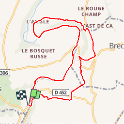
Tocht Stappen van 11,1 km beschikbaar op Normandië, Manche, Condé-sur-Vire. Deze tocht wordt voorgesteld door phi14.
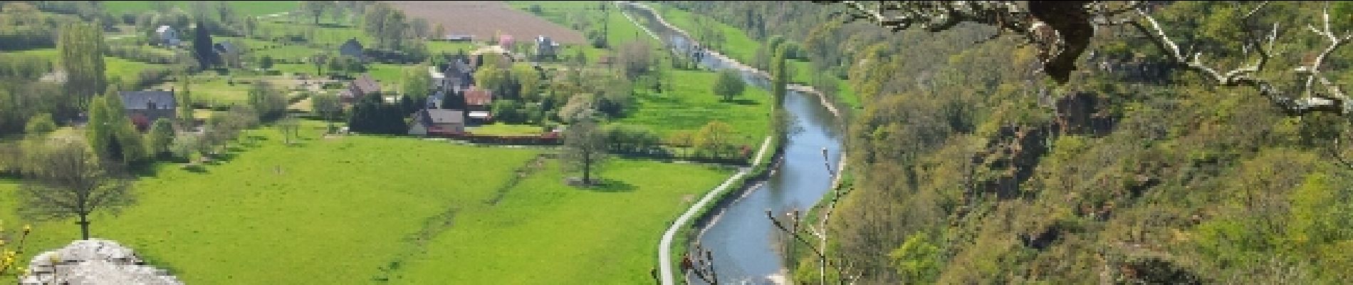
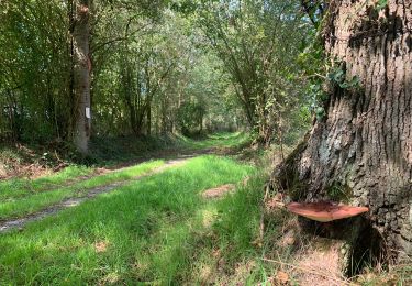
Aire de pique-nique très agréable à la Chapelle sur Vire.


Stappen
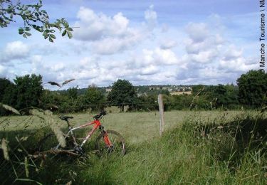
Mountainbike
Stappen

Stappen

Mountainbike

Stappen

Stappen

Mountainbike

Stappen
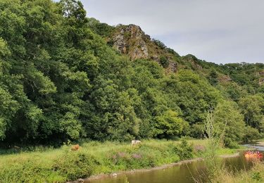
sympa. à découvrir avec une pause crêpes a mi parcours