


PHR TM Day 44

ARVIEU
Gebruiker

Lengte
22 km

Max. hoogte
1247 m

Positief hoogteverschil
792 m
Km-Effort
36 km

Min. hoogte
0 m

Negatief hoogteverschil
1742 m
Boucle
Neen
Datum van aanmaak :
2021-02-22 14:34:22.329
Laatste wijziging :
2021-02-22 14:34:51.705
8h06
Moeilijkheid : Zeer moeilijk

Gratisgps-wandelapplicatie
 SityTrail
IGN / Geografische instituten
SityTrail Plus
De wereld gaat voor u open
Over ons
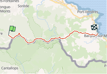
Tocht Stappen van 22 km beschikbaar op Occitanië, Pyrénées-Orientales, L'Albère. Deze tocht wordt voorgesteld door ARVIEU.
Plaatsbepaling
Land:
France
Regio :
Occitanië
Departement/Provincie :
Pyrénées-Orientales
Gemeente :
L'Albère
Locatie:
Unknown
Vertrek:(Dec)
Vertrek:(UTM)
493646 ; 4703009 (31T) N.
Opmerkingen