


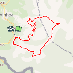

18,3 km | 29 km-effort


Gebruiker


Gratisgps-wandelapplicatie
 SityTrail
IGN / Geografische instituten
SityTrail World
De wereld gaat voor u open
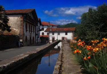
Tocht Stappen van 9,4 km beschikbaar op Nieuw-Aquitanië, Pyrénées-Atlantiques, Ainhoa. Deze tocht wordt voorgesteld door DECHAMPD.
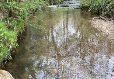
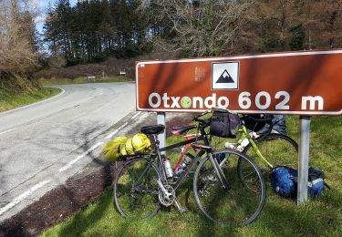
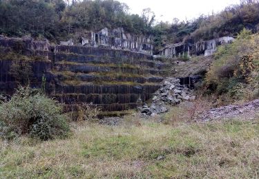
Arbonakoborda, nord de la carrière Perlaenborda, Erramuntenborda, col des 3 croix, sommet de l'Errebi. sens sud nord.
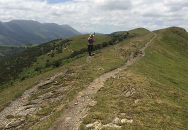
Stappen

Lopen
Stappen

Stappen
Stappen
Stappen
Te voet
Te voet
Te voet