


Le Tanargue en 2 jours

fashiondapulse
Gebruiker
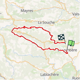

Lengte
65 km

Max. hoogte
1440 m

Positief hoogteverschil
2649 m
Km-Effort
100 km

Min. hoogte
184 m

Negatief hoogteverschil
2592 m
Boucle
Neen
Datum van aanmaak :
2014-12-10 00:00:00.0
Laatste wijziging :
2014-12-10 00:00:00.0
15h52
Moeilijkheid : Zeer moeilijk

Gratisgps-wandelapplicatie
 SityTrail
IGN / Geografische instituten
SityTrail Plus
De wereld gaat voor u open
Over ons
Tocht Stappen van 65 km beschikbaar op Auvergne-Rhône-Alpes, Ardèche, Largentière. Deze tocht wordt voorgesteld door fashiondapulse.
Beschrijving
Il faut compter environ 65Km. J'ai fait une étape au gite de Loubaresse (que je recommande).
Attention la tour Brison reste un passage difficle
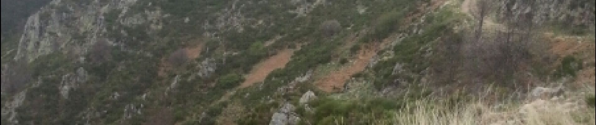
Foto's


Plaatsbepaling
Land:
France
Regio :
Auvergne-Rhône-Alpes
Departement/Provincie :
Ardèche
Gemeente :
Largentière
Locatie:
Unknown
Vertrek:(Dec)
Vertrek:(UTM)
602571 ; 4932860 (31T) N.
Opmerkingen