


07032021 Vouvray

Roulland
Gebruiker
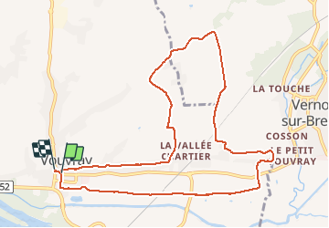

Lengte
10,8 km

Max. hoogte
109 m

Positief hoogteverschil
107 m
Km-Effort
12,2 km

Min. hoogte
47 m

Negatief hoogteverschil
108 m
Boucle
Ja
Datum van aanmaak :
2021-03-07 07:34:48.107
Laatste wijziging :
2021-03-07 09:39:45.769
1h51
Moeilijkheid : Heel gemakkelijk

Gratisgps-wandelapplicatie
 SityTrail
IGN / Geografische instituten
SityTrail Plus
De wereld gaat voor u open
Over ons
Tocht Stappen van 10,8 km beschikbaar op Centre-Val de Loire, Indre-et-Loire, Vouvray. Deze tocht wordt voorgesteld door Roulland.
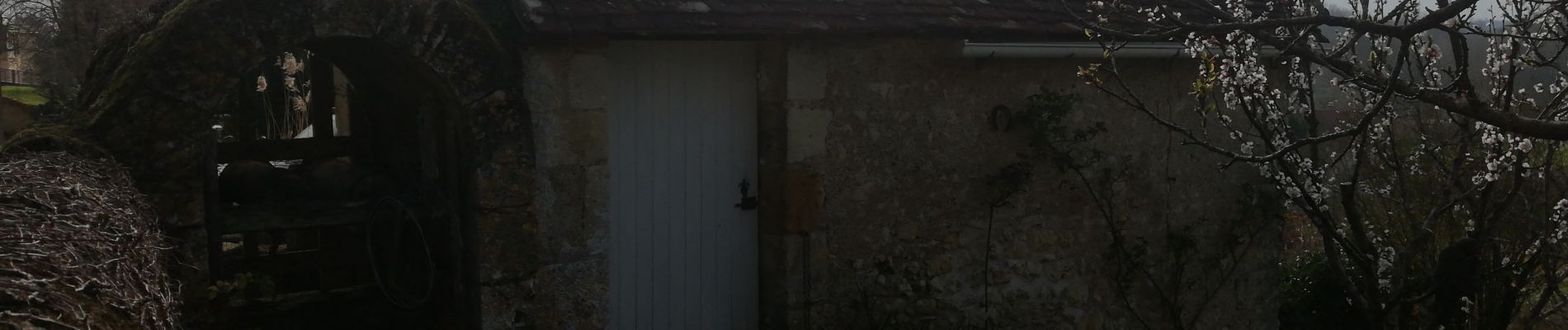
Foto's


Plaatsbepaling
Land:
France
Regio :
Centre-Val de Loire
Departement/Provincie :
Indre-et-Loire
Gemeente :
Vouvray
Locatie:
Unknown
Vertrek:(Dec)
Vertrek:(UTM)
333963 ; 5253301 (31T) N.
Opmerkingen