


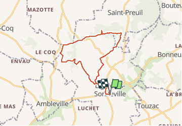

53 km | 63 km-effort


Gebruiker


Gratisgps-wandelapplicatie
 SityTrail
IGN / Geografische instituten
SityTrail World
De wereld gaat voor u open
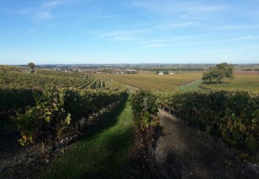
Tocht Noords wandelen van 14,4 km beschikbaar op Nieuw-Aquitanië, Charente, Lignières-Sonneville. Deze tocht wordt voorgesteld door JACQUOU.

Motor
Stappen
Stappen
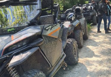
Quad
Stappen

Stappen
Stappen