


Romarins Tour de Thuir

Phidel66
Gebruiker
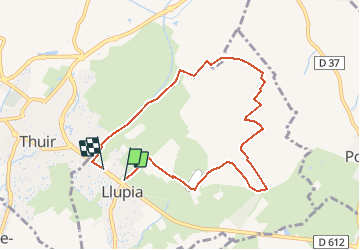

Lengte
8,4 km

Max. hoogte
104 m

Positief hoogteverschil
42 m
Km-Effort
9 km

Min. hoogte
86 m

Negatief hoogteverschil
41 m
Boucle
Neen
Datum van aanmaak :
2021-03-23 12:24:15.004
Laatste wijziging :
2021-03-23 12:35:41.962
2h01
Moeilijkheid : Medium

Gratisgps-wandelapplicatie
 SityTrail
IGN / Geografische instituten
SityTrail Plus
De wereld gaat voor u open
Over ons
Tocht Stappen van 8,4 km beschikbaar op Occitanië, Pyrénées-Orientales, Llupia. Deze tocht wordt voorgesteld door Phidel66.
Beschrijving
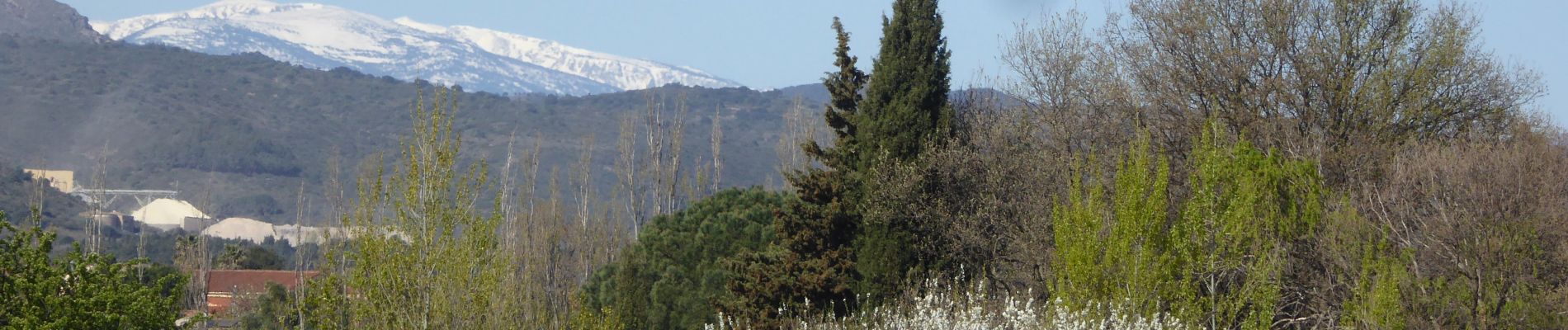
Romarins
Foto's

Plaatsbepaling
Land:
France
Regio :
Occitanië
Departement/Provincie :
Pyrénées-Orientales
Gemeente :
Llupia
Locatie:
Unknown
Vertrek:(Dec)
Vertrek:(UTM)
481202 ; 4719112 (31T) N.
Opmerkingen