


JFT YB ETAPE3 29-4-2014

jeff2
Gebruiker

Lengte
29 km

Max. hoogte
99 m

Positief hoogteverschil
178 m
Km-Effort
31 km

Min. hoogte
34 m

Negatief hoogteverschil
220 m
Boucle
Neen
Datum van aanmaak :
2014-12-10 00:00:00.0
Laatste wijziging :
2014-12-10 00:00:00.0
6h15
Moeilijkheid : Gemakkelijk

Gratisgps-wandelapplicatie
 SityTrail
IGN / Geografische instituten
SityTrail Plus
De wereld gaat voor u open
Over ons
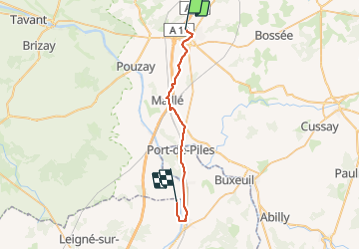
Tocht Stappen van 29 km beschikbaar op Centre-Val de Loire, Indre-et-Loire, Sainte-Maure-de-Touraine. Deze tocht wordt voorgesteld door jeff2.
Beschrijving
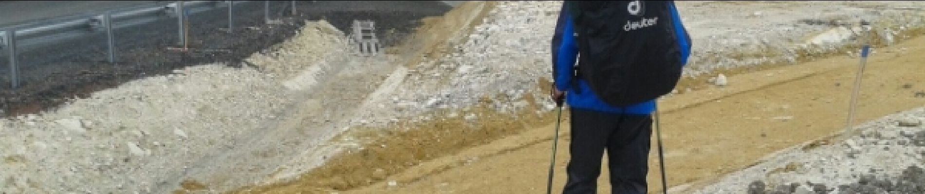
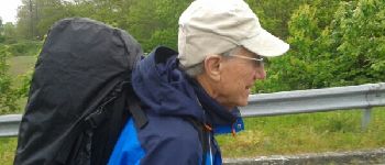
St Maure Dange St Romain
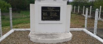
Foto's


Plaatsbepaling
Land:
France
Regio :
Centre-Val de Loire
Departement/Provincie :
Indre-et-Loire
Gemeente :
Sainte-Maure-de-Touraine
Locatie:
Unknown
Vertrek:(Dec)
Vertrek:(UTM)
318331 ; 5220932 (31T) N.
Opmerkingen