


2021-03-27_21h51m11_VTT Loyers 08.04.2012

frederic.lorimier@skynet.be
Gebruiker
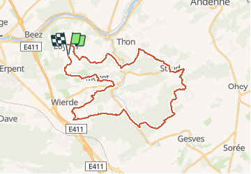

Lengte
38 km

Max. hoogte
288 m

Positief hoogteverschil
740 m
Km-Effort
48 km

Min. hoogte
107 m

Negatief hoogteverschil
737 m
Boucle
Ja
Datum van aanmaak :
2021-03-27 20:51:15.462
Laatste wijziging :
2021-03-27 20:51:17.123

Gratisgps-wandelapplicatie
 SityTrail
IGN / Geografische instituten
SityTrail Plus
De wereld gaat voor u open
Over ons
Tocht van 38 km beschikbaar op Wallonië, Namen, Namen. Deze tocht wordt voorgesteld door frederic.lorimier@skynet.be.
Plaatsbepaling
Land:
Belgium
Regio :
Wallonië
Departement/Provincie :
Namen
Gemeente :
Namen
Locatie:
Loyers
Vertrek:(Dec)
Vertrek:(UTM)
638878 ; 5591078 (31U) N.
Opmerkingen