


Sortie école primaire

helmut68
Gebruiker
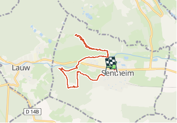

Lengte
7,7 km

Max. hoogte
404 m

Positief hoogteverschil
102 m
Km-Effort
9,1 km

Min. hoogte
353 m

Negatief hoogteverschil
111 m
Boucle
Neen
Datum van aanmaak :
2021-03-29 09:58:38.889
Laatste wijziging :
2021-03-31 19:48:31.23
3h57
Moeilijkheid : Gemakkelijk

Gratisgps-wandelapplicatie
 SityTrail
IGN / Geografische instituten
SityTrail Plus
De wereld gaat voor u open
Over ons
Tocht Stappen van 7,7 km beschikbaar op Grand Est, Haut-Rhin, Sentheim. Deze tocht wordt voorgesteld door helmut68.
Beschrijving
Sortie découverte faune et flore autour de Sentheim ou les élèves ont pu voir ,toucher,sentir mais aussi profiter d'une belle journée ensoleillée ...
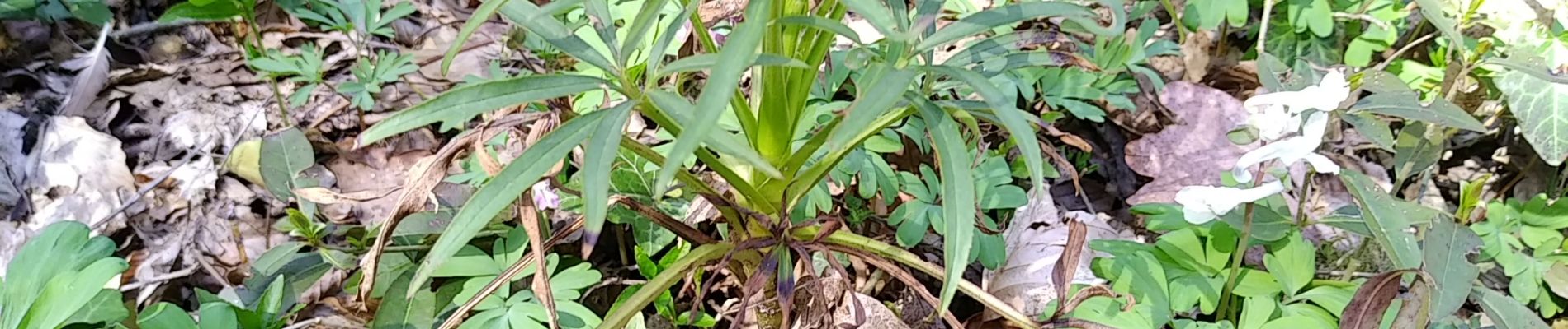
Foto's


Plaatsbepaling
Land:
France
Regio :
Grand Est
Departement/Provincie :
Haut-Rhin
Gemeente :
Sentheim
Locatie:
Unknown
Vertrek:(Dec)
Vertrek:(UTM)
353776 ; 5290864 (32T) N.
Opmerkingen