


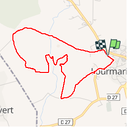

14 km | 14,9 km-effort


Gebruiker


Gratisgps-wandelapplicatie
 SityTrail
IGN / Geografische instituten
SityTrail World
De wereld gaat voor u open
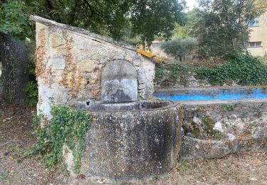
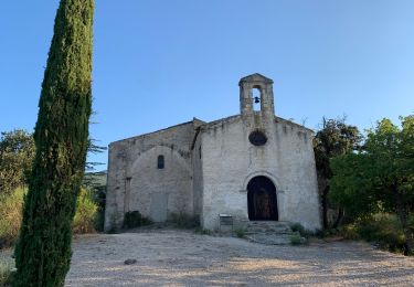
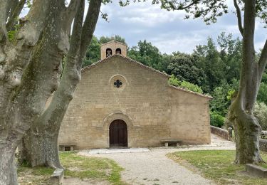
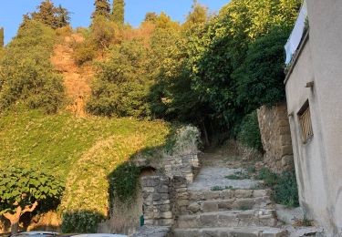
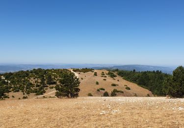
Tocht Stappen van 5,1 km beschikbaar op Provence-Alpes-Côte d'Azur, Vaucluse, Lourmarin. Deze tocht wordt voorgesteld door MicDul.
Te voet
Stappen

Stappen
Stappen
Te voet
Stappen
Stappen
Stappen
Mountainbike
attention on traverse des propriétés privées avec chiens