


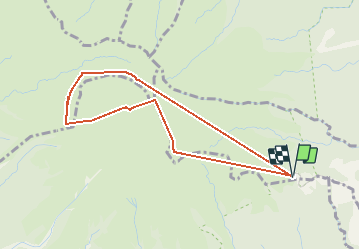
Aileron / 3e refuge / Caldeira (AR)

Vincent Galva
Gebruiker

Lengte
5,3 km

Max. hoogte
1355 m

Positief hoogteverschil
628 m
Km-Effort
13,7 km

Min. hoogte
829 m

Negatief hoogteverschil
629 m
Boucle
Ja
Datum van aanmaak :
2021-04-10 13:43:22.007
Laatste wijziging :
2021-04-10 16:30:14.671
2h30
Moeilijkheid : Moeilijk

Gratisgps-wandelapplicatie
 SityTrail
IGN / Geografische instituten
SityTrail Plus
De wereld gaat voor u open
Over ons
Tocht Stappen van 5,3 km beschikbaar op Martinique, Onbekend, L'Ajoupa-Bouillon. Deze tocht wordt voorgesteld door Vincent Galva.
Beschrijving
Balisage CO préparation AMM
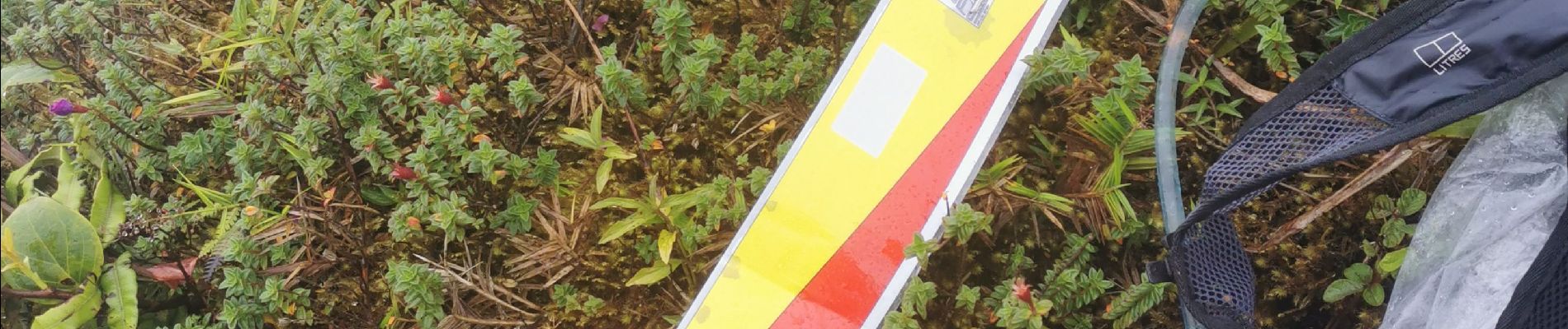
Foto's
 - Photo 1")
 - Photo 2")
Plaatsbepaling
Land:
France
Regio :
Martinique
Departement/Provincie :
Onbekend
Gemeente :
L'Ajoupa-Bouillon
Locatie:
Unknown
Vertrek:(Dec)
Vertrek:(UTM)
698934 ; 1637709 (20P) N.
Opmerkingen