


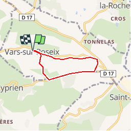


6,4 km | 8,8 km-effort


Gebruiker


Gratisgps-wandelapplicatie
 SityTrail
IGN / Geografische instituten
SityTrail World
De wereld gaat voor u open
Tocht Stappen van 4,3 km beschikbaar op Nieuw-Aquitanië, Corrèze, Vars-sur-Roseix. Deze tocht wordt voorgesteld door houbart.
Départ place de l'église à Vars sur Roseix. Eglise des XIIe et XIVe. Belles maisons en brasier.
Facile mais grimpette un peu dure sur la fin du trajet.


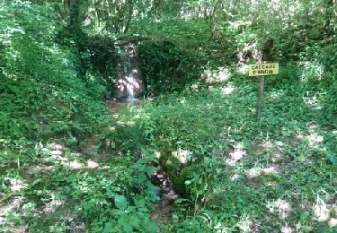
Stappen

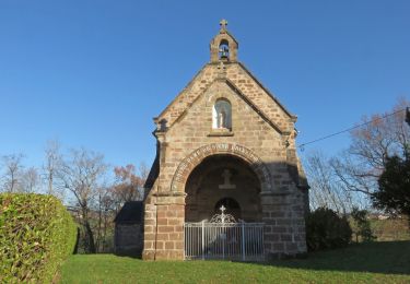
Stappen

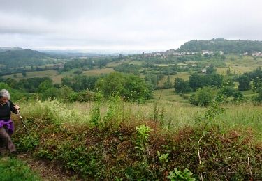
Stappen
Stappen
Stappen
Stappen

Stappen
Stappen
Stappen