


Borne IGN - Cheminée des Gitryes

Grouchat
Gebruiker
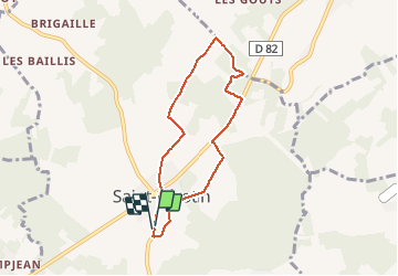

Lengte
6 km

Max. hoogte
205 m

Positief hoogteverschil
72 m
Km-Effort
7 km

Min. hoogte
171 m

Negatief hoogteverschil
71 m
Boucle
Ja
Datum van aanmaak :
2021-04-23 15:10:23.284
Laatste wijziging :
2021-04-23 16:32:52.611
1h22
Moeilijkheid : Gemakkelijk

Gratisgps-wandelapplicatie
 SityTrail
IGN / Geografische instituten
SityTrail Plus
De wereld gaat voor u open
Over ons
Tocht Stappen van 6 km beschikbaar op Bourgondië-Franche-Comté, Yonne, Saint-Sérotin. Deze tocht wordt voorgesteld door Grouchat.
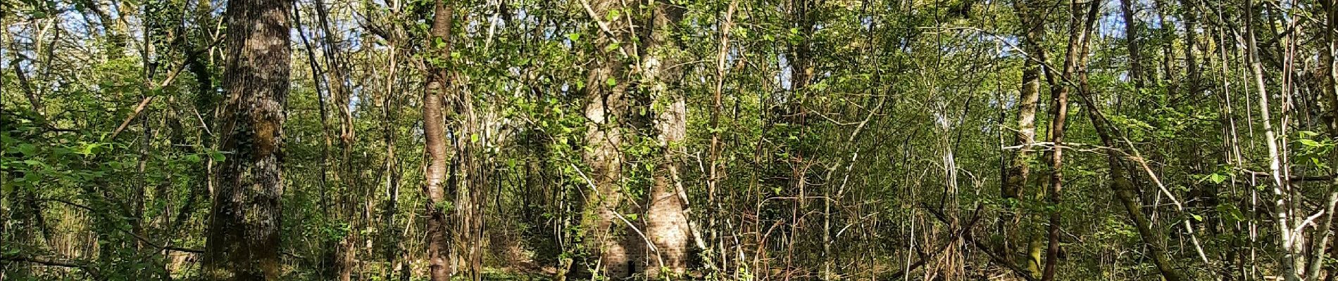
Foto's


Plaatsbepaling
Land:
France
Regio :
Bourgondië-Franche-Comté
Departement/Provincie :
Yonne
Gemeente :
Saint-Sérotin
Locatie:
Unknown
Vertrek:(Dec)
Vertrek:(UTM)
511721 ; 5343477 (31U) N.
Opmerkingen