


guilhaumard

Patriste
Gebruiker
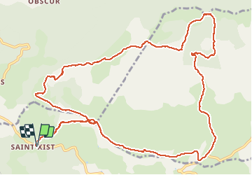

Lengte
16,1 km

Max. hoogte
841 m

Positief hoogteverschil
354 m
Km-Effort
21 km

Min. hoogte
646 m

Negatief hoogteverschil
354 m
Boucle
Ja
Datum van aanmaak :
2021-05-09 07:38:13.968
Laatste wijziging :
2021-05-09 13:39:06.176
5h18
Moeilijkheid : Medium

Gratisgps-wandelapplicatie
 SityTrail
IGN / Geografische instituten
SityTrail Plus
De wereld gaat voor u open
Over ons
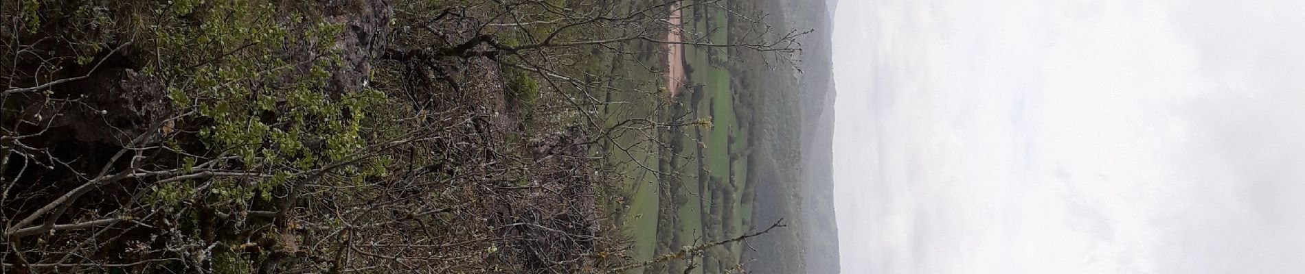
Tocht Stappen van 16,1 km beschikbaar op Occitanië, Aveyron, Le Clapier. Deze tocht wordt voorgesteld door Patriste.
Foto's


Plaatsbepaling
Land:
France
Regio :
Occitanië
Departement/Provincie :
Aveyron
Gemeente :
Le Clapier
Locatie:
Unknown
Vertrek:(Dec)
Vertrek:(UTM)
510738 ; 4854234 (31T) N.
Opmerkingen