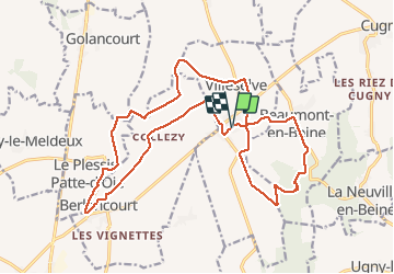
Tocht Stappen Villeselve - Villeselve - Photo
 jpblimond
jpblimond

Gebruiker

© OpenStreetMap contributors
Lengte
Lengte
21 km
Max. hoogte
Max. hoogte
134 m
Positief hoogteverschil
156 m
Km-Effort
Km-Effort  
23 km
Min. hoogte
Min. hoogte
63 m
Negatief hoogteverschil
157 m
Boucle
Boucle
Ja
Datum van aanmaak :
2021-05-09 11:01:20.0
Laatste wijziging :
2021-05-13 09:50:30.646

(0 Bericht)

Stappen
Stappen
4h39
Moeilijkheid : Medium

Scan deze QR-code om de tocht te openen in de SityTrail-applicatie

Gratisgps-wandelapplicatie

Logo SityTrail SityTrail

IGN / Geografische instituten

SityTrail uit de App Store downloaden SityTrail uit Google Play downloaden

Logo SityTrail SityTrail Plus

De wereld gaat voor u open

SityTrail uit de App Store downloaden SityTrail uit Google Play downloaden SityTrail op Huawei AppGallery downloaden

Over ons

Tocht Stappen van 21 km beschikbaar op Hauts-de-France, Oise, Villeselve. Deze tocht wordt voorgesteld door jpblimond.

Beschrijving

Très peu de dénivelé sur cette randonnée.
Passage très fréquent en plaine sauf dans la partie sud.
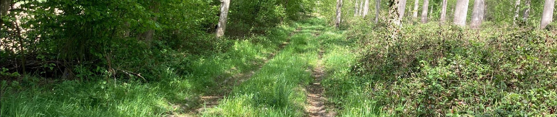
L'arrivée au bois est compliqué, le sentier n'existe plus cause culture.
Le bois a été coupé et le sentier original n'existe plus.
Une large allée doit maintenant être empruntée, dommage.

Hoogteprofiel

Foto's

Plaatsbepaling

Land:
France
Regio :
Hauts-de-France
Departement/Provincie :
Oise
Gemeente :
Villeselve
Locatie:
Unknown
Vertrek:(Dec)
Vertrek:(UTM)
507993 ; 5504025 (31U) N.


Sluiten
Mijn abonnementen