


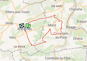
Anthines - Comblain-au-Pont

floflo61
Gebruiker

Lengte
14,3 km

Max. hoogte
279 m

Positief hoogteverschil
334 m
Km-Effort
18,7 km

Min. hoogte
118 m

Negatief hoogteverschil
334 m
Boucle
Ja
Datum van aanmaak :
2021-05-14 11:00:03.773
Laatste wijziging :
2021-05-15 07:25:16.991
3h12
Moeilijkheid : Gemakkelijk

Gratisgps-wandelapplicatie
 SityTrail
IGN / Geografische instituten
SityTrail Plus
De wereld gaat voor u open
Over ons
Tocht Stappen van 14,3 km beschikbaar op Wallonië, Luik, Anthisnes. Deze tocht wordt voorgesteld door floflo61.
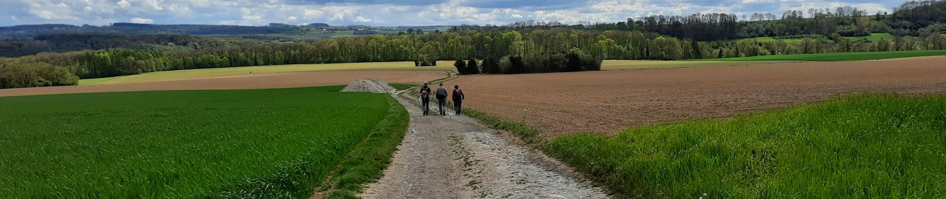
Foto's


Plaatsbepaling
Land:
Belgium
Regio :
Wallonië
Departement/Provincie :
Luik
Gemeente :
Anthisnes
Locatie:
Anthisnes
Vertrek:(Dec)
Vertrek:(UTM)
678984 ; 5594975 (31U) N.
Opmerkingen