


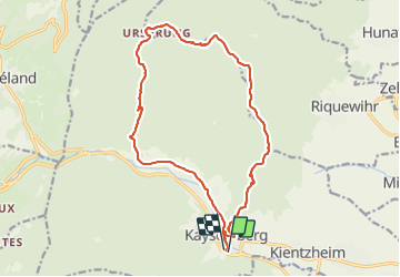

17,1 km | 25 km-effort


Gebruiker GUIDE


Gratisgps-wandelapplicatie
 SityTrail
IGN / Geografische instituten
SityTrail World
De wereld gaat voor u open
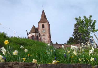
Tocht Stappen van 17,1 km beschikbaar op Grand Est, Haut-Rhin, Kaysersberg-Vignoble. Deze tocht wordt voorgesteld door holtzv.
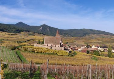
Marche depuis Kaysersberg en passant par l'Ursprung, la chapelle St Alexis pour la pause repas avec la belle vue, le chêne de la chapelle, le rocher des Corbeaux et le château de Kaysersberg.


Stappen

Stappen
Paardrijden

Stappen
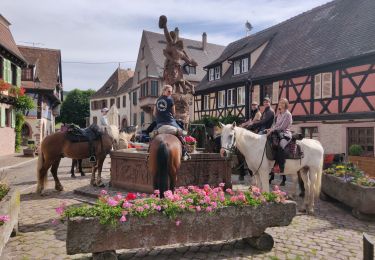
Paardrijden

Stappen

Stappen
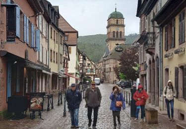
Stappen
Stappen