Tocht Stappen Bedous - Plateau d'Ourdinse et Pic de Chebretou  - Photo

Plateau d'Ourdinse et Pic de Chebretou

 bedous
bedous

Gebruiker

© OpenStreetMap contributors
Lengte
Lengte
12,5 km
Max. hoogte
Max. hoogte
1583 m
Positief hoogteverschil
1012 m
Km-Effort
Km-Effort  
26 km
Min. hoogte
Min. hoogte
707 m
Negatief hoogteverschil
1009 m
Boucle
Boucle
Ja
Datum van aanmaak :
2021-06-13 05:47:48.98
Laatste wijziging :
2021-06-22 15:27:15.146

(0 Bericht)

Stappen
Stappen
6h36
Moeilijkheid : Moeilijk

Scan deze QR-code om de tocht te openen in de SityTrail-applicatie

Gratisgps-wandelapplicatie

Logo SityTrail SityTrail

IGN / Geografische instituten

SityTrail uit de App Store downloaden SityTrail uit Google Play downloaden

Logo SityTrail SityTrail World

De wereld gaat voor u open

SityTrail uit de App Store downloaden SityTrail uit Google Play downloaden SityTrail op Huawei AppGallery downloaden

Over ons

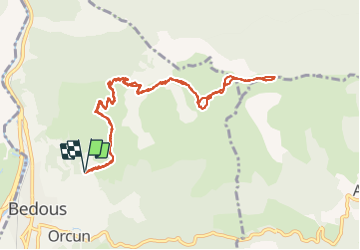
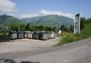
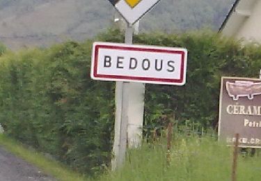
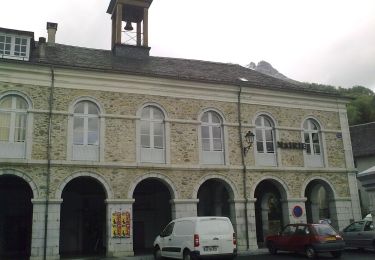
Tocht Stappen van 12,5 km beschikbaar op Nieuw-Aquitanië, Pyrénées-Atlantiques, Bedous. Deze tocht wordt voorgesteld door bedous.

Beschrijving

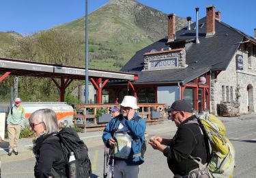
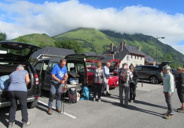
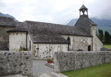
Départ de la Borde de Mirande à Bedous.
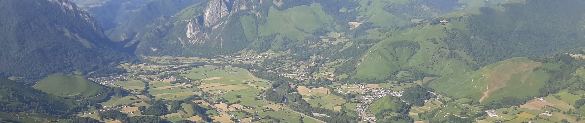
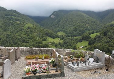
La première partie du parcours monte et offre des vues magnifiques sur la vallée et les villages, puis l'on traverse le plateau à son gré et humeur.....et enfin arrivée au pic de Chebretou avec une vue "à couper le souffle" sur le pic Hèche Lestrez, les coste de Gey et coste du mail d'Abérou.

Hoogteprofiel

Foto's

Plaatsbepaling

Land:
France
Regio :
Nieuw-Aquitanië
Departement/Provincie :
Pyrénées-Atlantiques
Gemeente :
Bedous
Locatie:
Unknown
Vertrek:(UTM)
696273 ; 4764061 (30T) N.

Wandeltochten in de omgeving

Tocht Stappen Bedous - Le Tour de Saudious - Photo
Stappen
tracegps

Stappen

Medium
(1)
Bedous, Nieuw-Aquitanië, Pyrénées-Atlantiques, France
6 km | 8,7 km-effort
1h 30min
Ja
Tocht Te voet Bedous - BEDOUS les chemins du gaves G4
Te voet
GUIDE
marmotte65

Te voet

Gemakkelijk
Bedous, Nieuw-Aquitanië, Pyrénées-Atlantiques, France
11,2 km | 12,9 km-effort
2h 55min
Ja
Tocht Te voet Bedous - BEDOUS Le tour du Bugala par Osse en Aspe - Photo
Te voet
GUIDE
marmotte65

Te voet

Gemakkelijk
Bedous, Nieuw-Aquitanië, Pyrénées-Atlantiques, France
11,6 km | 16,8 km-effort
3h 56min
Ja
Tocht Te voet Accous - Sommet du Poey asp122 - Photo
Te voet
PRO

Te voet

Gemakkelijk
Accous, Nieuw-Aquitanië, Pyrénées-Atlantiques, France
3,5 km | 5,7 km-effort
1h 17min
Ja
Tocht Te voet Osse-en-Aspe - Tour panoramique Osse-Athas asp109 - Photo
Te voet
PRO

Te voet

Gemakkelijk
Osse-en-Aspe, Nieuw-Aquitanië, Pyrénées-Atlantiques, France
8,3 km | 12,1 km-effort
2h 44min
Neen
Tocht Te voet Aydius - Tour du Mailh Massibé par Bésur asp100 - Photo
Te voet
PRO

Te voet

Medium
Aydius, Nieuw-Aquitanië, Pyrénées-Atlantiques, France
9,8 km | 23 km-effort
5h 7min
Neen
Tocht Te voet Aydius - Chemin des Buis de Camploung asp22 - Photo
Te voet
PRO

Te voet

Gemakkelijk
Aydius, Nieuw-Aquitanië, Pyrénées-Atlantiques, France
4,1 km | 6,3 km-effort
1h 26min
Ja
Tocht Te voet Bedous - Trail de Bergout asp24 - Photo
Te voet
PRO

Te voet

Medium
Bedous, Nieuw-Aquitanië, Pyrénées-Atlantiques, France
10,1 km | 20 km-effort
4h 36min
Ja
Tocht Te voet Bedous - Chemins du Gave asp12 - Photo
Te voet
PRO

Te voet

Gemakkelijk
Bedous, Nieuw-Aquitanië, Pyrénées-Atlantiques, France
11,2 km | 12,9 km-effort
2h 56min
Ja


Sluiten
Mijn abonnementen