


Lestelle-Bétharram G4 FAIT

LouisROGER
Gebruiker GUIDE
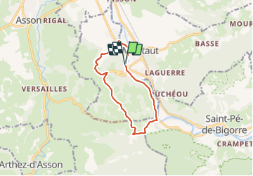

Lengte
11,2 km

Max. hoogte
472 m

Positief hoogteverschil
220 m
Km-Effort
14,1 km

Min. hoogte
295 m

Negatief hoogteverschil
217 m
Boucle
Ja
Datum van aanmaak :
2021-06-18 07:29:43.524
Laatste wijziging :
2021-06-18 12:13:09.526
4h08
Moeilijkheid : Moeilijk

Gratisgps-wandelapplicatie
 SityTrail
IGN / Geografische instituten
SityTrail Plus
De wereld gaat voor u open
Over ons
Tocht Stappen van 11,2 km beschikbaar op Nieuw-Aquitanië, Pyrénées-Atlantiques, Lestelle-Bétharram. Deze tocht wordt voorgesteld door LouisROGER.
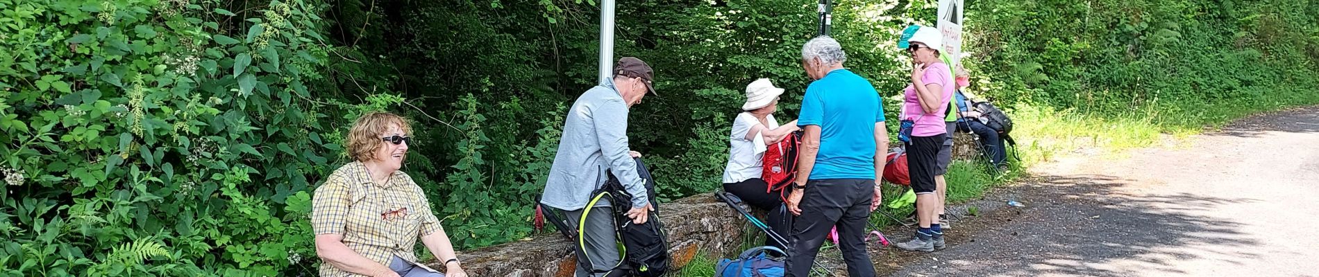
Foto's

Plaatsbepaling
Land:
France
Regio :
Nieuw-Aquitanië
Departement/Provincie :
Pyrénées-Atlantiques
Gemeente :
Lestelle-Bétharram
Locatie:
Unknown
Vertrek:(Dec)
Vertrek:(UTM)
727168 ; 4778450 (30T) N.
Opmerkingen