


EXT35 Rohrbach les Bitche-02

Specialized77
Gebruiker GUIDE
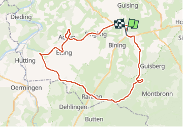

Lengte
34 km

Max. hoogte
378 m

Positief hoogteverschil
588 m
Km-Effort
42 km

Min. hoogte
227 m

Negatief hoogteverschil
588 m
Boucle
Ja
Datum van aanmaak :
2021-06-19 06:40:26.811
Laatste wijziging :
2023-04-24 21:00:36.55
1h45
Moeilijkheid : Medium

Gratisgps-wandelapplicatie
 SityTrail
IGN / Geografische instituten
SityTrail Plus
De wereld gaat voor u open
Over ons
Tocht Wegfiets van 34 km beschikbaar op Grand Est, Moselle, Rohrbach-lès-Bitche. Deze tocht wordt voorgesteld door Specialized77.
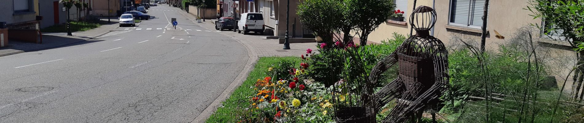
Foto's


Plaatsbepaling
Land:
France
Regio :
Grand Est
Departement/Provincie :
Moselle
Gemeente :
Rohrbach-lès-Bitche
Locatie:
Unknown
Vertrek:(Dec)
Vertrek:(UTM)
373164 ; 5433946 (32U) N.
Opmerkingen