


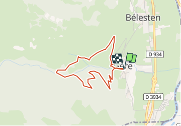

6 km | 9,9 km-effort


Gebruiker


Gratisgps-wandelapplicatie
 SityTrail
IGN / Geografische instituten
SityTrail World
De wereld gaat voor u open
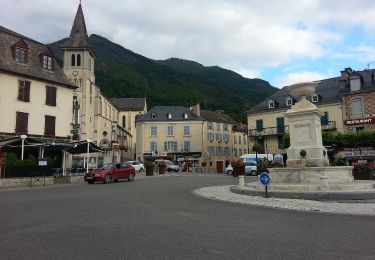
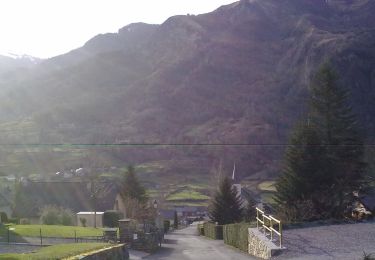
Tocht Stappen van 3,8 km beschikbaar op Nieuw-Aquitanië, Pyrénées-Atlantiques, Gère-Bélesten. Deze tocht wordt voorgesteld door rogerpoirier.
Une petite randonnée de mise en jambes, 350 mètres de dénivelé. à faire le matin montée exposée au soleil, mais redescente à l'ombre. Nous avons vu, ce que je crois être des faucons pèlerins en chasse, en plein vol, d'autres oiseaux, que je n'ai pu identifier, n'étant pas assez connaisseur.
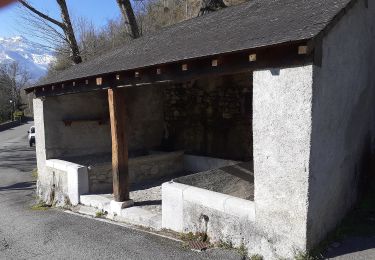
En redescendant, ne pas oublier, pour couper la piste Un superbe sentier, balisé jaune comme le reste de la randonnée, qui descend assez rudement en pierre, Par temps humide, ne pas couper la piste.

Stappen

Stappen
Stappen
Stappen
Stappen
Te voet
Te voet
Te voet
Te voet