15,4 km | 24 km-effort
Sentier du piédestal
pasmig
Gebruiker
Lengte
10,3 km
Max. hoogte
841 m
Positief hoogteverschil
393 m
Km-Effort
15,7 km
Min. hoogte
482 m
Negatief hoogteverschil
439 m
Boucle
Ja
Datum van aanmaak :
2021-07-16 08:29:52.0
Laatste wijziging :
2021-07-16 12:41:18.2
4h09
Moeilijkheid : Medium
Gratisgps-wandelapplicatie
Over ons
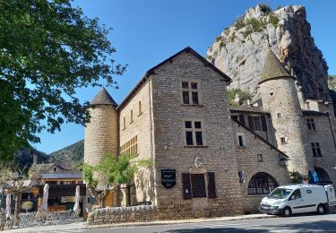
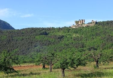
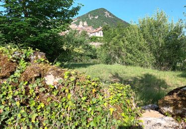
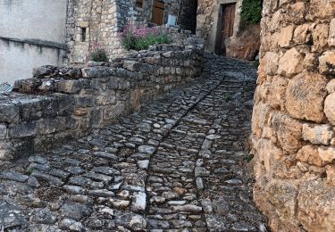
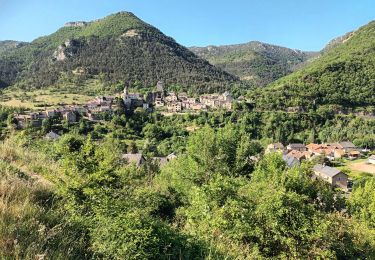
Tocht Stappen van 10,3 km beschikbaar op Occitanië, Aveyron, Rivière-sur-Tarn. Deze tocht wordt voorgesteld door pasmig.
Beschrijving
Très belle randonnée, le départ est raide mais la vue en haut est splendide.
Plaatsbepaling
Land:
France
Regio :
Occitanië
Departement/Provincie :
Aveyron
Gemeente :
Rivière-sur-Tarn
Locatie:
Unknown
Vertrek:(Dec)
Vertrek:(UTM)
511740 ; 4893649 (31T) N.
Opmerkingen
Wandeltochten in de omgeving
Cirque de Saint Marcellin - Mostuéjouls - Liaucous
Stappen
Medium
(1)
Mostuéjouls,
Occitanië,
Aveyron,
France
5h 0min
Ja
Causse et gorges au pays des vautours
Stappen
Moeilijk
Le Rozier,
Occitanië,
Lozère,
France
27 km | 40 km-effort
7h 48min
Neen
Sur Les Hauteurs De Peyreleau
Stappen
Moeilijk
(2)
Le Rozier,
Occitanië,
Lozère,
France
10,4 km | 18,2 km-effort
4h 0min
Ja
Le 815 - Peyreleau
Stappen
Gemakkelijk
(1)
Peyreleau,
Occitanië,
Aveyron,
France
5,5 km | 10,5 km-effort
2h 0min
Ja
les corniches du Méjean (la Jonte)
Stappen
Medium
Le Rozier,
Occitanië,
Lozère,
France
12,5 km | 23 km-effort
7h 15min
Ja
J7: Mostuéjouls-Millau-150522
Stappen
Medium
Mostuéjouls,
Occitanië,
Aveyron,
France
22 km | 31 km-effort
6h 57min
Neen
Ermitage St Michel 19-05-22
Stappen
Medium
Peyreleau,
Occitanië,
Aveyron,
France
10,3 km | 18 km-effort
2h 50min
Ja
Liaucous-village troglodyte-18-05-22
Stappen
Medium
Mostuéjouls,
Occitanië,
Aveyron,
France
11,7 km | 18,8 km-effort
3h 9min
Ja
Le Rozier-corniche Méjean-17-05-22
Stappen
Medium
Le Rozier,
Occitanië,
Lozère,
France
11,6 km | 21 km-effort
3h 50min
Ja