


Lacs et col de l'Aupillon

Clo0413
Gebruiker

Lengte
15,1 km

Max. hoogte
2698 m

Positief hoogteverschil
825 m
Km-Effort
26 km

Min. hoogte
1881 m

Negatief hoogteverschil
822 m
Boucle
Ja
Datum van aanmaak :
2021-07-23 06:49:04.294
Laatste wijziging :
2021-07-24 09:35:13.313
7h00
Moeilijkheid : Moeilijk

Gratisgps-wandelapplicatie
 SityTrail
IGN / Geografische instituten
SityTrail Plus
De wereld gaat voor u open
Over ons
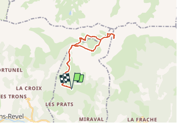
Tocht Stappen van 15,1 km beschikbaar op Provence-Alpes-Côte d'Azur, Alpes-de-Haute-Provence, Les Thuiles. Deze tocht wordt voorgesteld door Clo0413.
Plaatsbepaling
Land:
France
Regio :
Provence-Alpes-Côte d'Azur
Departement/Provincie :
Alpes-de-Haute-Provence
Gemeente :
Les Thuiles
Locatie:
Unknown
Vertrek:(Dec)
Vertrek:(UTM)
305728 ; 4920937 (32T) N.
Opmerkingen
Très beau