


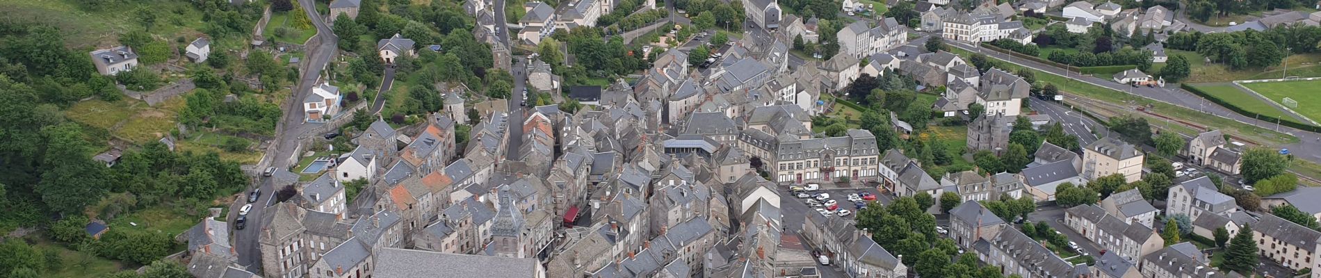
Murat - La Bonnevie de Saint-Antoine

VacheKiri67
Gebruiker


3h24
Moeilijkheid : Gemakkelijk

Gratisgps-wandelapplicatie
 SityTrail
IGN / Geografische instituten
SityTrail Plus
De wereld gaat voor u open
Over ons
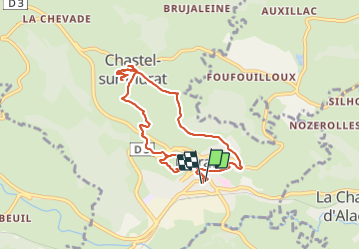
Tocht Stappen van 8,7 km beschikbaar op Auvergne-Rhône-Alpes, Cantal, Murat. Deze tocht wordt voorgesteld door VacheKiri67.
Beschrijving
Faite le 25/07/2021. Au départ de la place de l'Hôtel de Ville de Murat.
D'après "Hautes Terres du Cantal - 1 : La Bonnevie de Saint-Antoine". Durée indiquée pour le circuit : 2h45. Balisage : bleu.
Foto's


33 fotos in totaal. Klik op een foto om ze allemaal in de galerij weer te geven.
Plaatsbepaling
Opmerkingen