


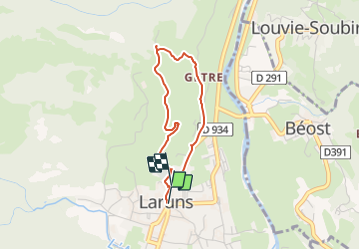

6 km | 9,9 km-effort


Gebruiker


Gratisgps-wandelapplicatie
 SityTrail
IGN / Geografische instituten
SityTrail World
De wereld gaat voor u open
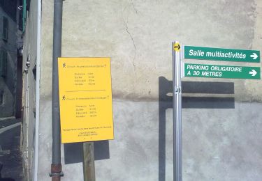
Tocht Stappen van 3 km beschikbaar op Nieuw-Aquitanië, Pyrénées-Atlantiques, Laruns. Deze tocht wordt voorgesteld door rogerpoirier.
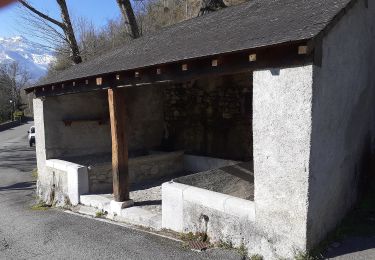
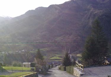
Petite randonnée, un peu de route jusqu'à la fontaine du Curé, eau fraîche et redescendre le petit chemin pavé vers Gêtre. A noter: La Fontaine du Curé était le départ du circuit des 5 monts, circuit qui est, désormais, définitivement supprimé, parce que trop dangereux.

Stappen

Stappen
Stappen

Te voet
Te voet
Te voet
Te voet
Te voet
Te voet