


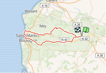
Quelmes/Boulogne-sur-Mer/Quelmes 102Kms (Dén P 1423m)

alain62rando
Gebruiker


3h50
Moeilijkheid : Medium

Gratisgps-wandelapplicatie
 SityTrail
IGN / Geografische instituten
SityTrail Plus
De wereld gaat voor u open
Over ons
Tocht Wegfiets van 102 km beschikbaar op Hauts-de-France, Pas-de-Calais, Quelmes. Deze tocht wordt voorgesteld door alain62rando.
Beschrijving
Belle randonnée avec les superbes paysages du Boulonnais.
La montée du mont Lambert puis la porte Gayolle.
La vallée du Wimereux, la montée dans la forêt de Colembert.
Que du bonheur..
Plaatsbepaling
Opmerkingen