


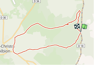

11,1 km | 12,7 km-effort


Gebruiker


Gratisgps-wandelapplicatie
 SityTrail
IGN / Geografische instituten
SityTrail World
De wereld gaat voor u open
Tocht Stappen van 11,1 km beschikbaar op Provence-Alpes-Côte d'Azur, Vaucluse, Saint-Christol. Deze tocht wordt voorgesteld door dsurin.


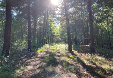
Stappen
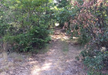
Stappen

Stappen
Stappen

Lopen
Lopen
Lopen

Elektrische fiets
Stappen