Bellefosse - château des Roches - ferme du Promont

Bart2015
Gebruiker
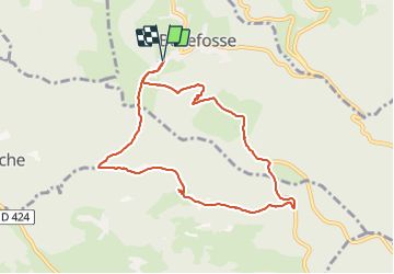


2h45
Moeilijkheid : Gemakkelijk

Gratisgps-wandelapplicatie
 SityTrail
IGN / Geografische instituten
SityTrail Plus
De wereld gaat voor u open
Over ons
Tocht Stappen van 8,4 km beschikbaar op Grand Est, Bas-Rhin, Bellefosse. Deze tocht wordt voorgesteld door Bart2015.
Beschrijving
Belle randonnée pour découvrir les jolis paysages près du village de Bellefosse, le château des Roches et sa tour perchée. Peut-être rencontrerez-vous la petite équipe qui s'occupe de la restauration du site. Ils n'hésiteront pas à vous expliquer son histoire.
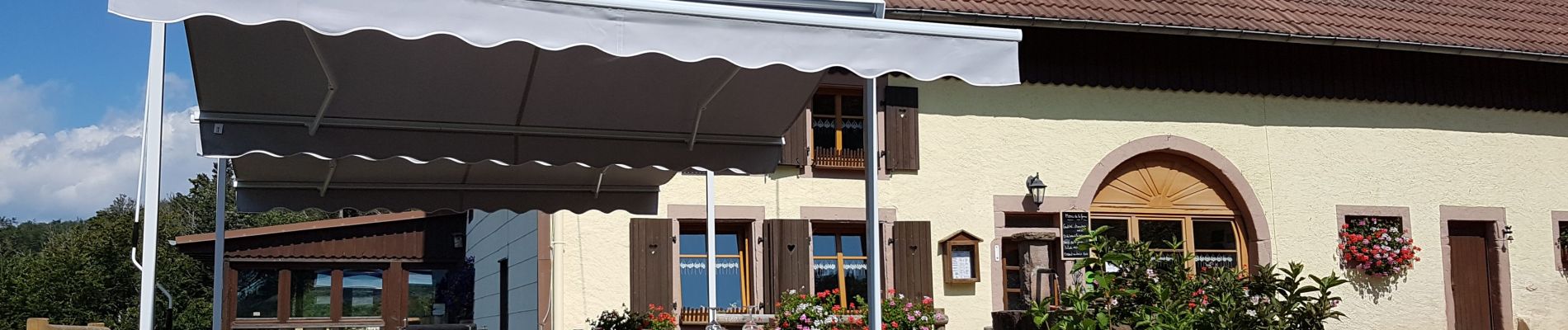
Dans la boucle du retour, pourquoi pas un arrêt à l'auberge du Promont, attention réservation obligatoire.
Bonne rando ...
Foto's


Plaatsbepaling
Opmerkingen