


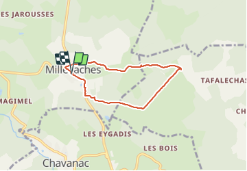

16,1 km | 21 km-effort


Gebruiker


Gratisgps-wandelapplicatie
 SityTrail
IGN / Geografische instituten
SityTrail World
De wereld gaat voor u open
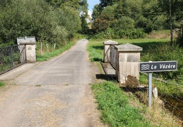
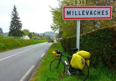
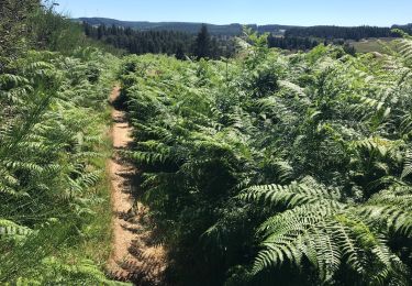
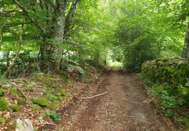
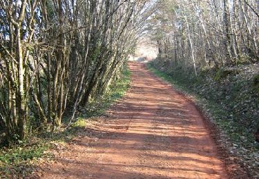
Tocht Stappen van 5,9 km beschikbaar op Nieuw-Aquitanië, Corrèze, Millevaches. Deze tocht wordt voorgesteld door martinjacque.
Chavaniac au départ de Mille ache
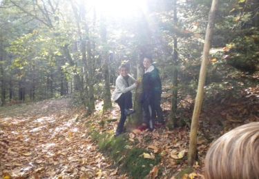
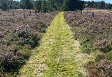
Stappen
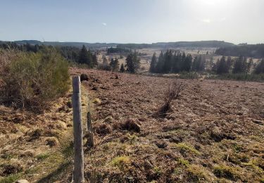
Stappen

Stappen

sport
Stappen
Te voet
Stappen
Stappen
Mountainbike