Tocht Stappen Montesquieu-des-Albères - Argeles - 10 km - Les 6 fontaines Montesquieu les Albères 600 m - Photo

Argeles - 10 km - Les 6 fontaines Montesquieu les Albères 600 m

 Marc Auger
Marc Auger

Gebruiker

© OpenStreetMap contributors
Lengte
Lengte
10 km
Max. hoogte
Max. hoogte
803 m
Positief hoogteverschil
600 m
Km-Effort
Km-Effort  
18 km
Min. hoogte
Min. hoogte
218 m
Negatief hoogteverschil
600 m
Boucle
Boucle
Ja
Datum van aanmaak :
2021-10-07 07:33:41.446
Laatste wijziging :
2024-04-24 10:38:46.095

(0 Bericht)

Stappen
Stappen
4h05
Moeilijkheid : Moeilijk

Scan deze QR-code om de tocht te openen in de SityTrail-applicatie

Gratisgps-wandelapplicatie

Logo SityTrail SityTrail

IGN / Geografische instituten

SityTrail uit de App Store downloaden SityTrail uit Google Play downloaden

Logo SityTrail SityTrail World

De wereld gaat voor u open

SityTrail uit de App Store downloaden SityTrail uit Google Play downloaden SityTrail op Huawei AppGallery downloaden

Over ons

Tocht Stappen van 10 km beschikbaar op Occitanië, Pyrénées-Orientales, Montesquieu-des-Albères. Deze tocht wordt voorgesteld door Marc Auger.

Beschrijving

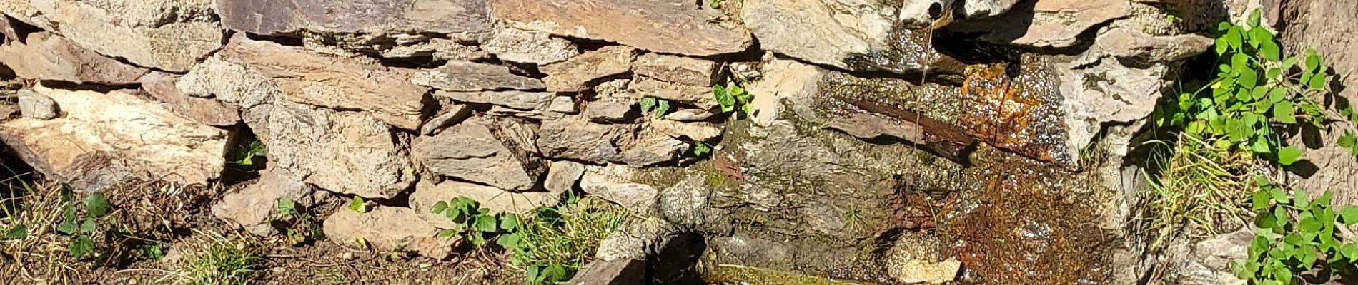
Boucle de 6 fontaines depuis Montesquieu les Albères et montée au col de Llinas 600 m

Hoogteprofiel

Foto's

Plaatsbepaling

Land:
France
Regio :
Occitanië
Departement/Provincie :
Pyrénées-Orientales
Gemeente :
Montesquieu-des-Albères
Locatie:
Unknown
Vertrek:(UTM)
490016 ; 4706786 (31T) N.

Wandeltochten in de omgeving

Tocht Stappen Les Cluses - LES CLUSES 66 - Photo
Stappen
jeff66

Stappen

Gemakkelijk
(9)
Les Cluses, Occitanië, Pyrénées-Orientales, France
9,4 km | 12,8 km-effort
1h 50min
Ja
Tocht Stappen Laroque-des-Albères - 66 LAROQUE DES ALBERES (maison) SOREDE, par pistes DFCI AL12 et 19, mas del Ca et mas Manere, Itin.16  - Photo
Stappen
jeff66

Stappen

Medium
(1)
Laroque-des-Albères, Occitanië, Pyrénées-Orientales, France
11,2 km | 15,3 km-effort
2h 5min
Ja
Tocht Stappen L'Albère - SAINT-JEAN-D'ALBERE 66 - PUIG  de Sant Christau par le coll de Sant Joan  - Photo
Stappen
jeff66

Stappen

Moeilijk
(1)
L'Albère, Occitanië, Pyrénées-Orientales, France
10,1 km | 17 km-effort
2h 46min
Ja
Tocht Stappen Montesquieu-des-Albères - MONTESQUIEU-DES-ALBERES 66 - Les Agouillous - les chemins de l'eau dans les Albères - Photo
Stappen
jeff66

Stappen

Medium
(1)
Montesquieu-des-Albères, Occitanië, Pyrénées-Orientales, France
12,7 km | 13,9 km-effort
2h 16min
Ja
Tocht Stappen Le Boulou - LES THERMES DU BOULOU - 66 - Albera viva - PUIG de l'Estella - Photo
Stappen
jeff66

Stappen

Medium
(2)
Le Boulou, Occitanië, Pyrénées-Orientales, France
7,3 km | 11,4 km-effort
1h 32min
Ja
Tocht Stappen Laroque-des-Albères - Col-Ullat Pic-aureille_Terrain - Photo
Stappen
force

Stappen

Medium
(1)
Laroque-des-Albères, Occitanië, Pyrénées-Orientales, France
11,2 km | 23 km-effort
4h 47min
Ja
Tocht Stappen Laroque-des-Albères - LAROQUE des A. 66 - Le puits à neige - Casot del Guarda - Photo
Stappen
jeff66

Stappen

Medium
(2)
Laroque-des-Albères, Occitanië, Pyrénées-Orientales, France
12,3 km | 19 km-effort
2h 17min
Ja
Tocht Stappen Laroque-des-Albères - LAROQUE boucle village - Photo
Stappen
jeff66

Stappen

Heel gemakkelijk
(2)
Laroque-des-Albères, Occitanië, Pyrénées-Orientales, France
5,2 km | 6,1 km-effort
53min
Ja
Tocht Stappen Les Cluses - LES CLUSES 66 - LE PERTHUS -  - Photo
Stappen
jeff66

Stappen

Medium
(2)
Les Cluses, Occitanië, Pyrénées-Orientales, France
14,4 km | 20 km-effort
2h 57min
Ja


Sluiten
Mijn abonnementen