


le Castellet - les vignobles

soca
Gebruiker

Lengte
10,1 km

Max. hoogte
280 m

Positief hoogteverschil
314 m
Km-Effort
14,3 km

Min. hoogte
44 m

Negatief hoogteverschil
314 m
Boucle
Ja
Datum van aanmaak :
2021-10-12 12:19:50.503
Laatste wijziging :
2021-10-12 12:24:32.797
3h14
Moeilijkheid : Gemakkelijk

Gratisgps-wandelapplicatie
 SityTrail
IGN / Geografische instituten
SityTrail Plus
De wereld gaat voor u open
Over ons
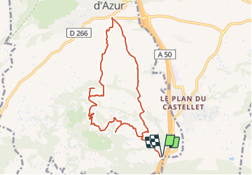
Tocht Stappen van 10,1 km beschikbaar op Provence-Alpes-Côte d'Azur, Var, La Cadière-d'Azur. Deze tocht wordt voorgesteld door soca.
Plaatsbepaling
Land:
France
Regio :
Provence-Alpes-Côte d'Azur
Departement/Provincie :
Var
Gemeente :
La Cadière-d'Azur
Locatie:
Unknown
Vertrek:(Dec)
Vertrek:(UTM)
725020 ; 4783160 (31T) N.
Opmerkingen